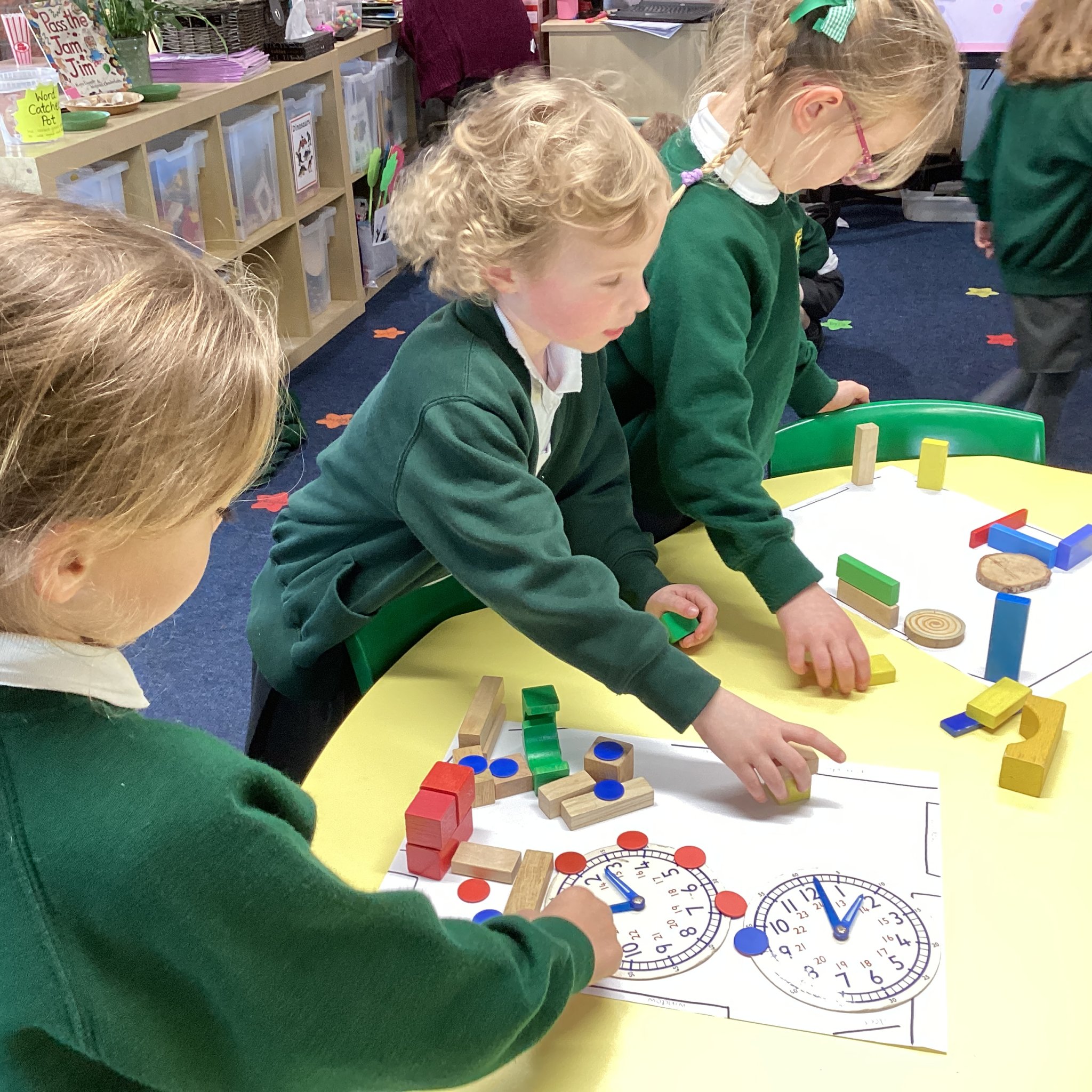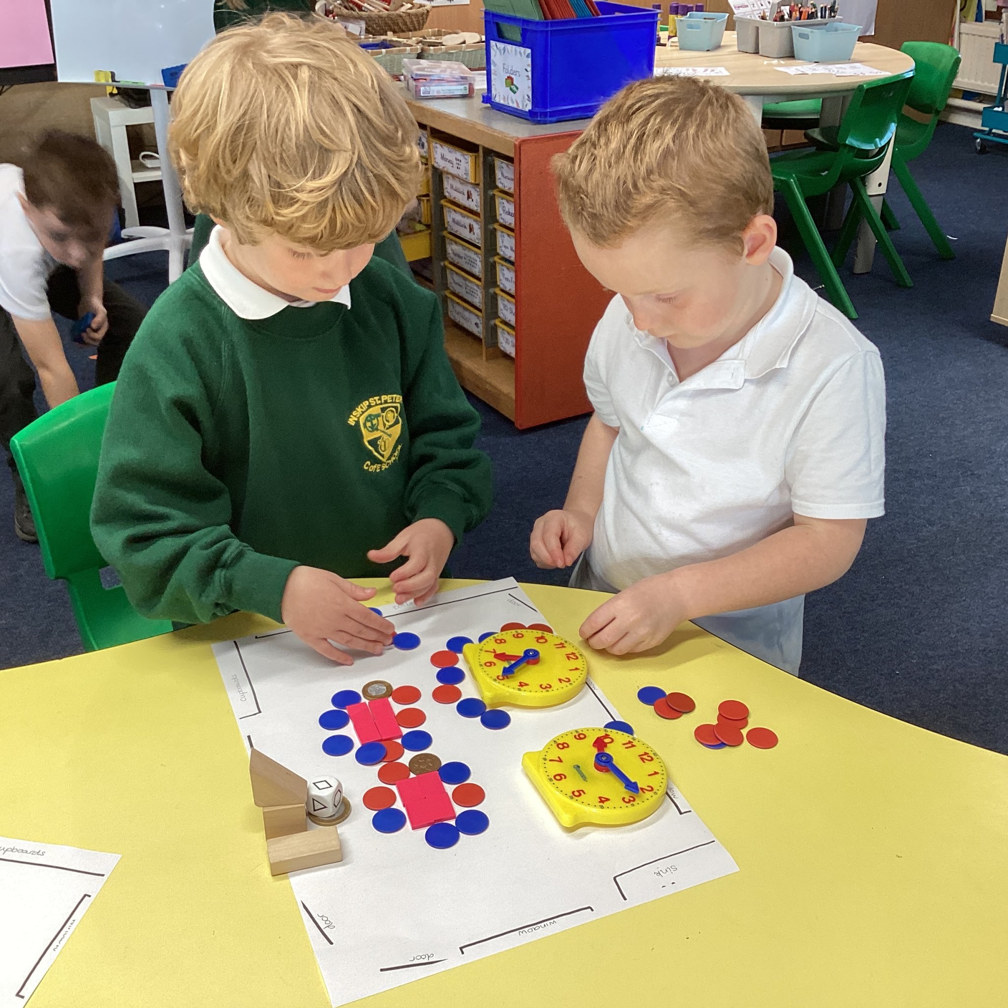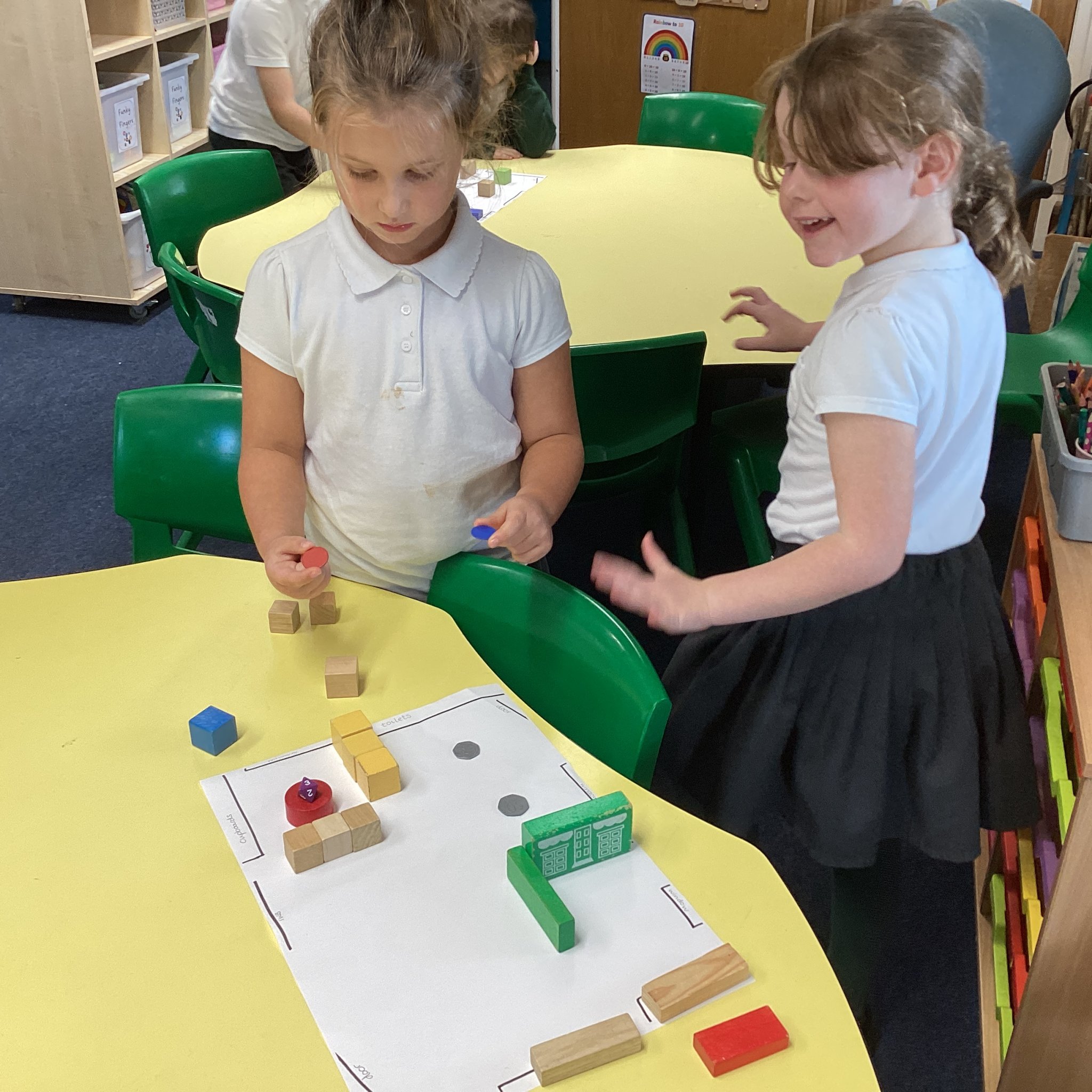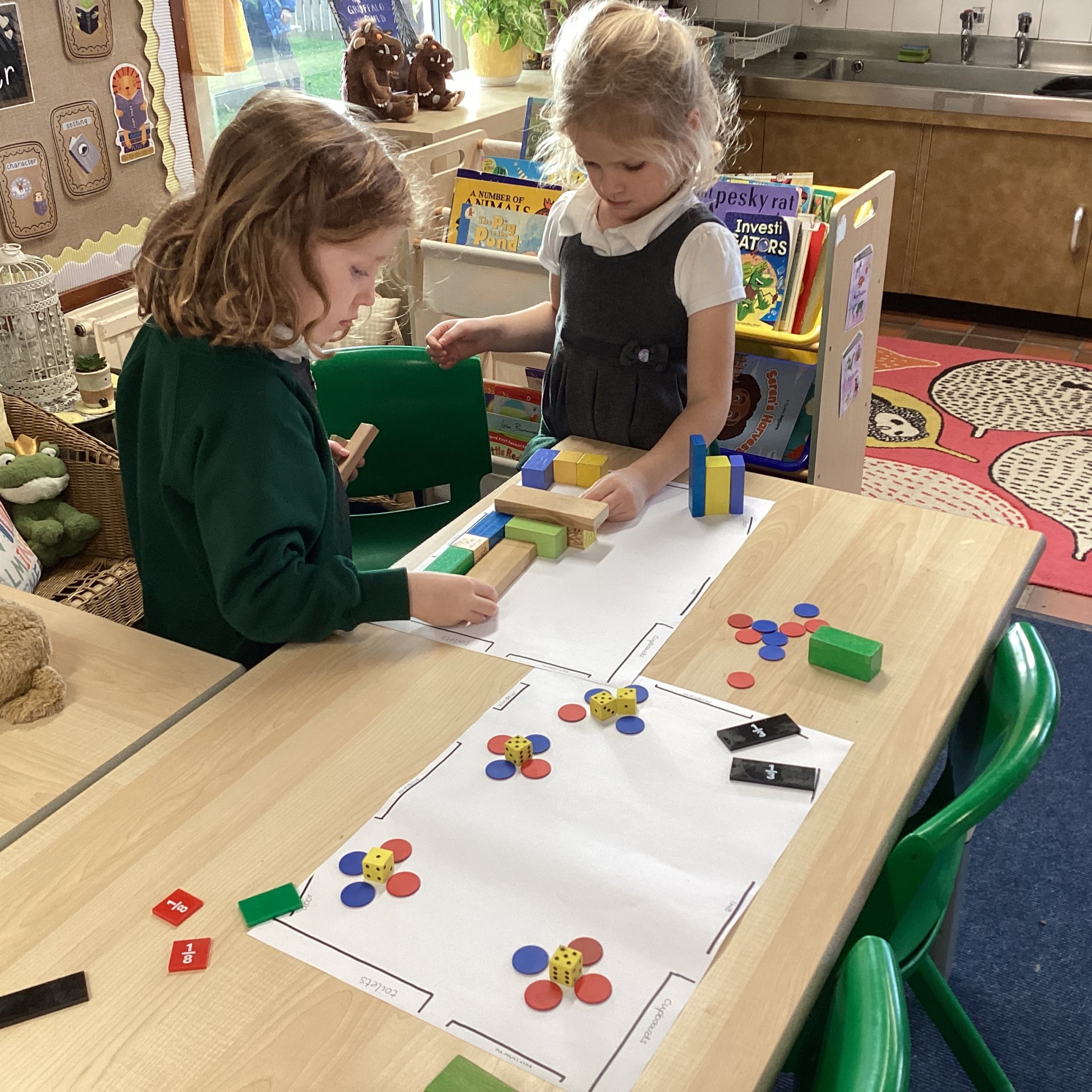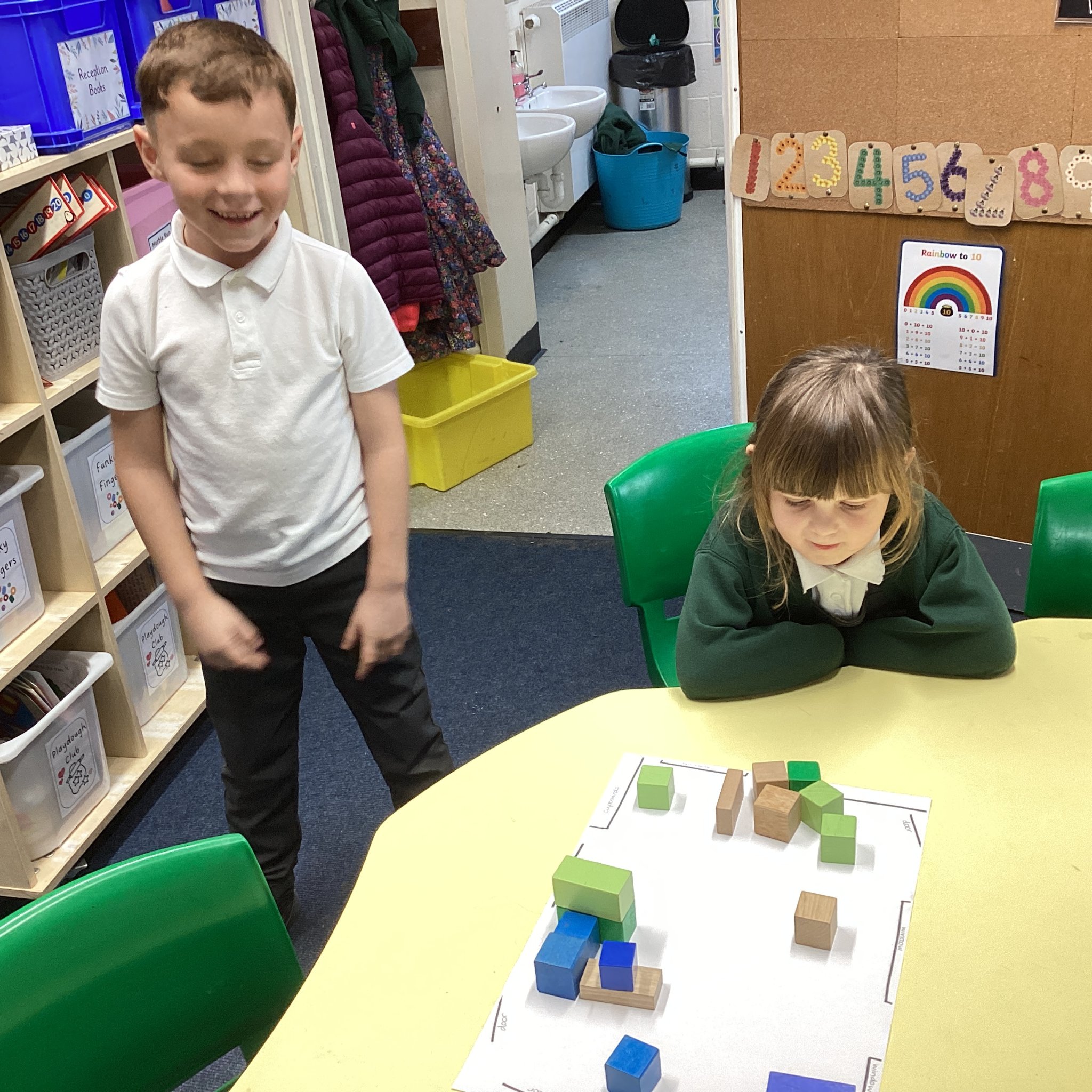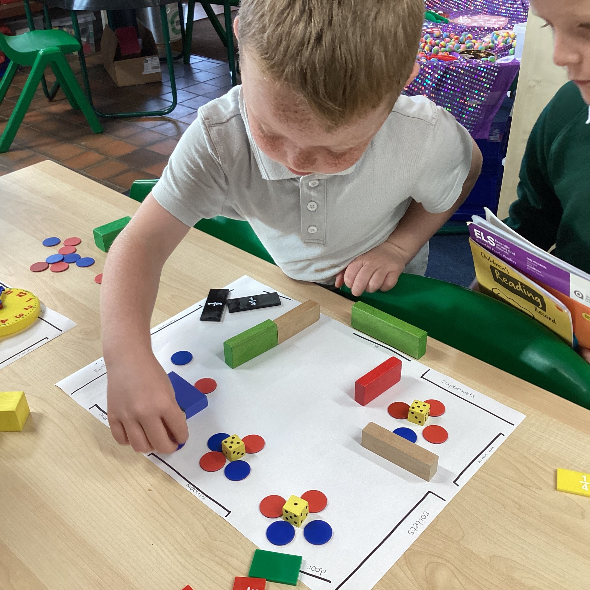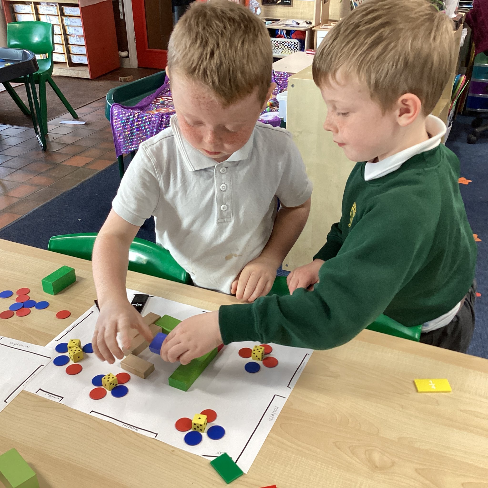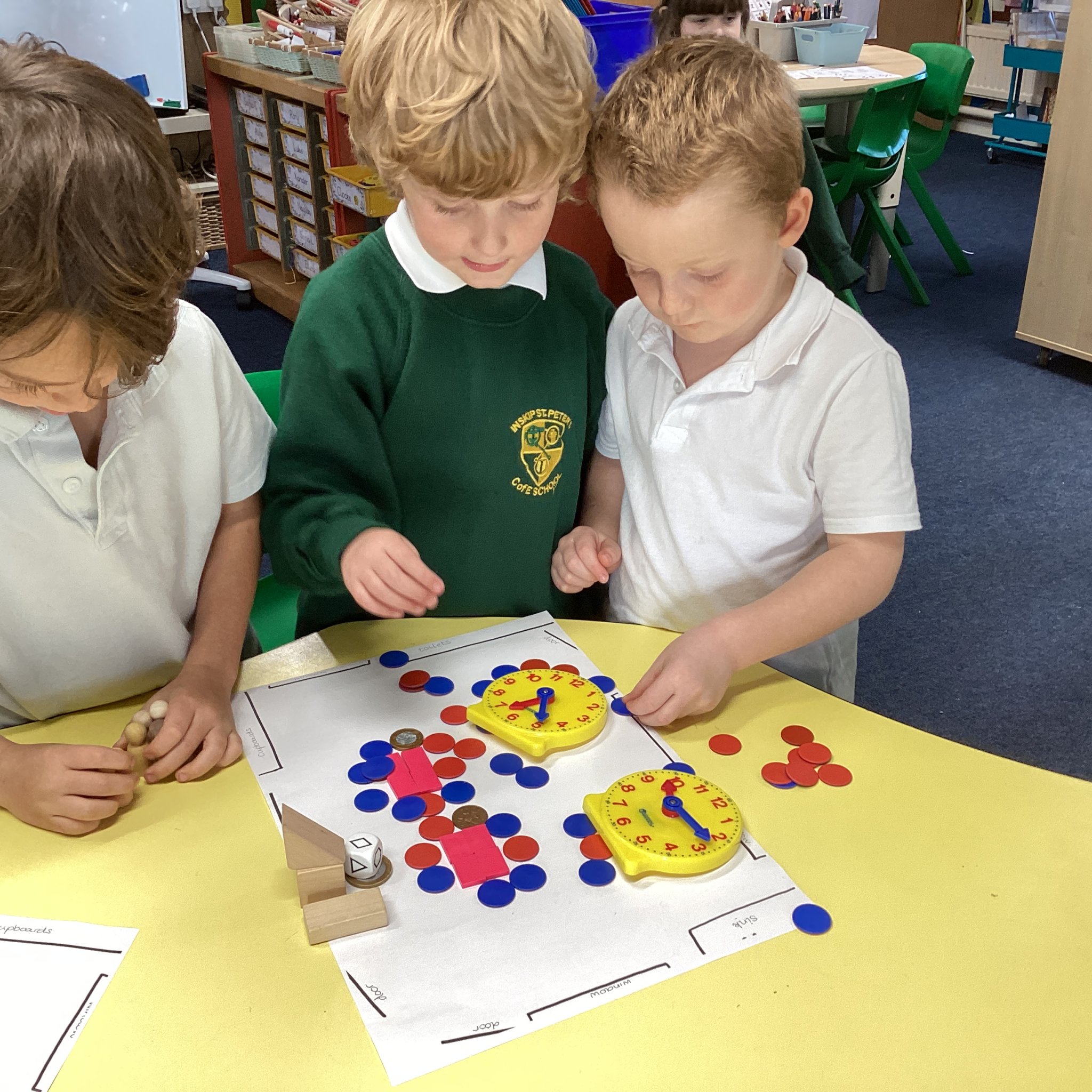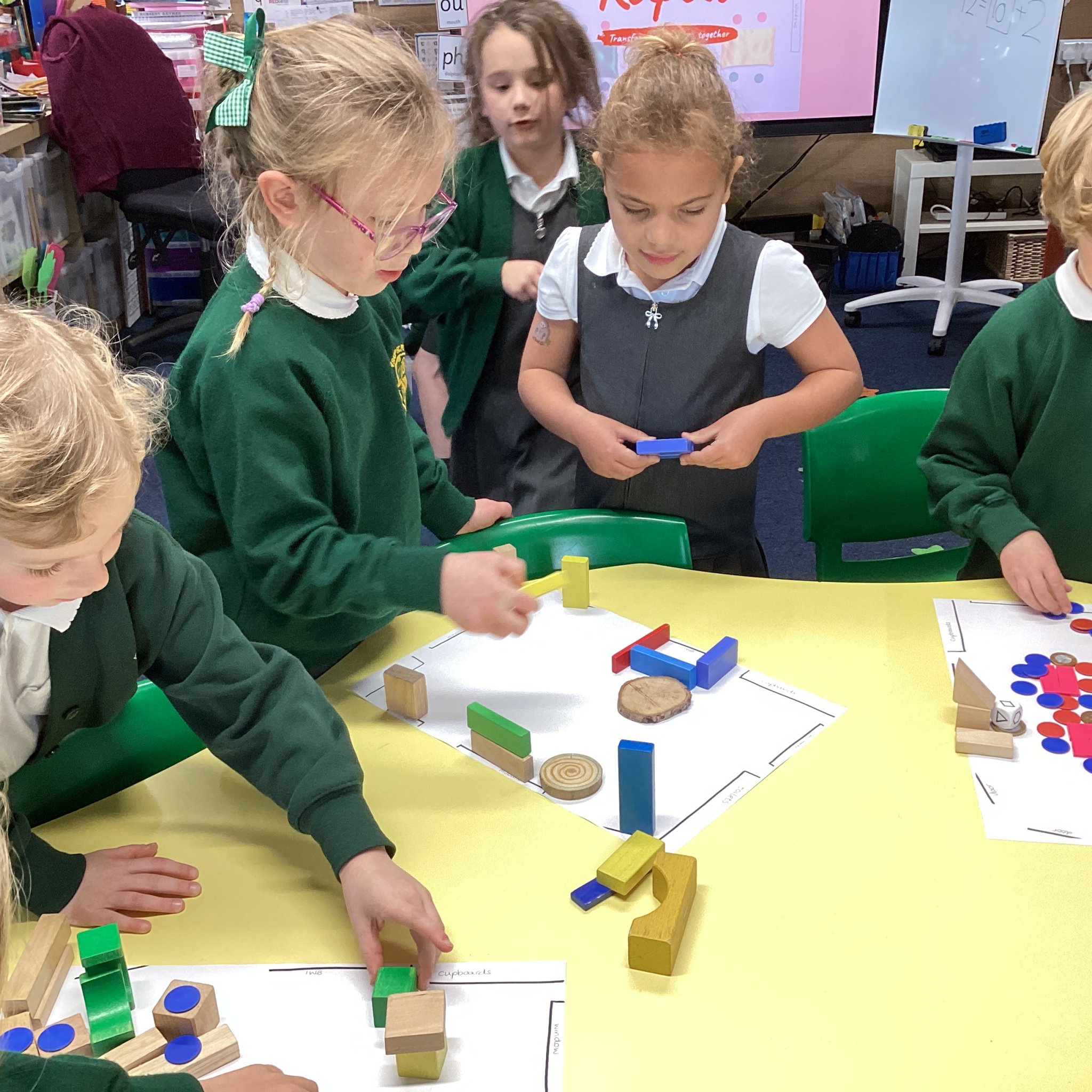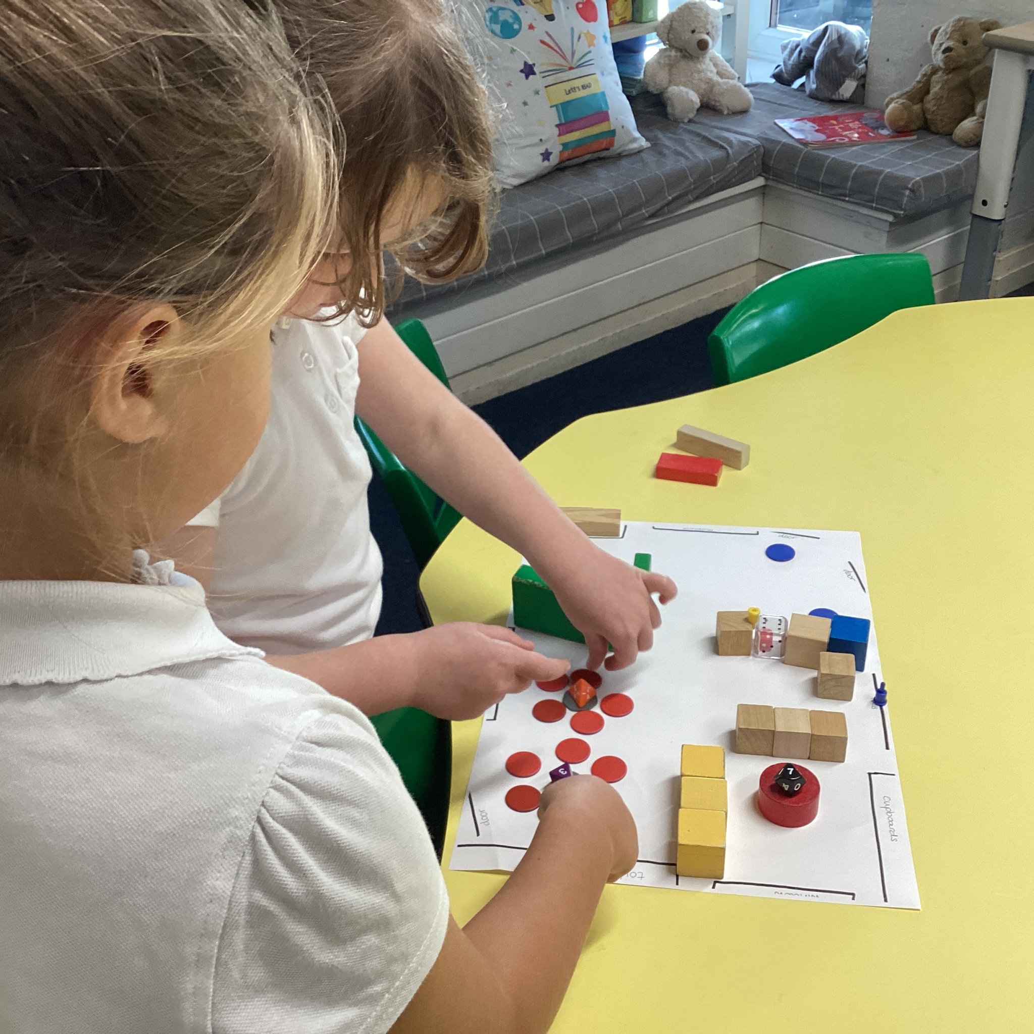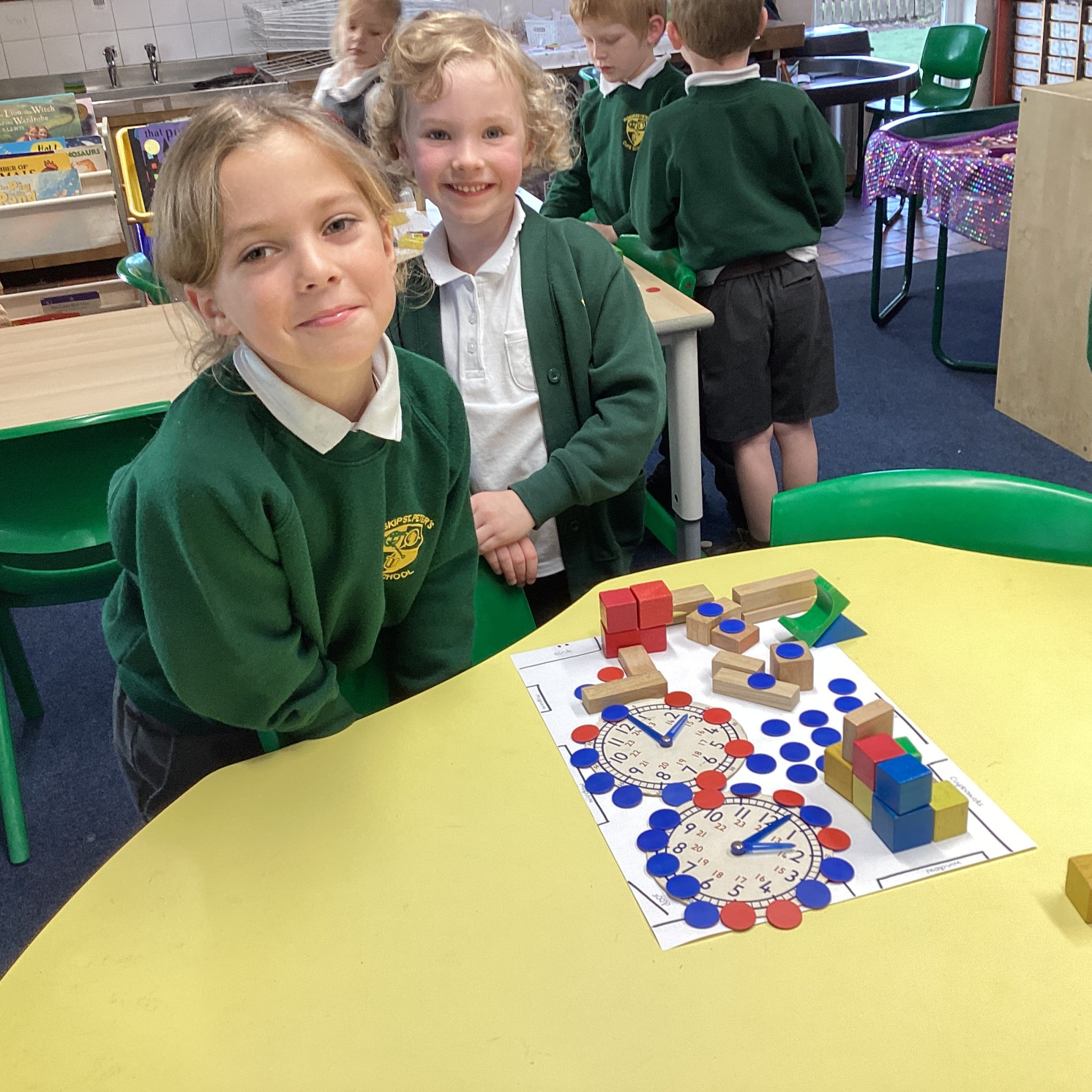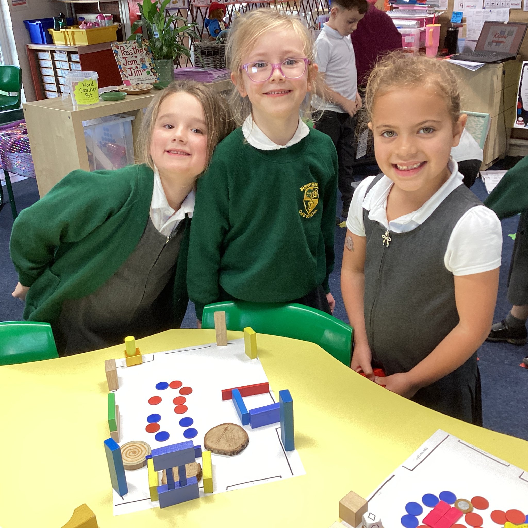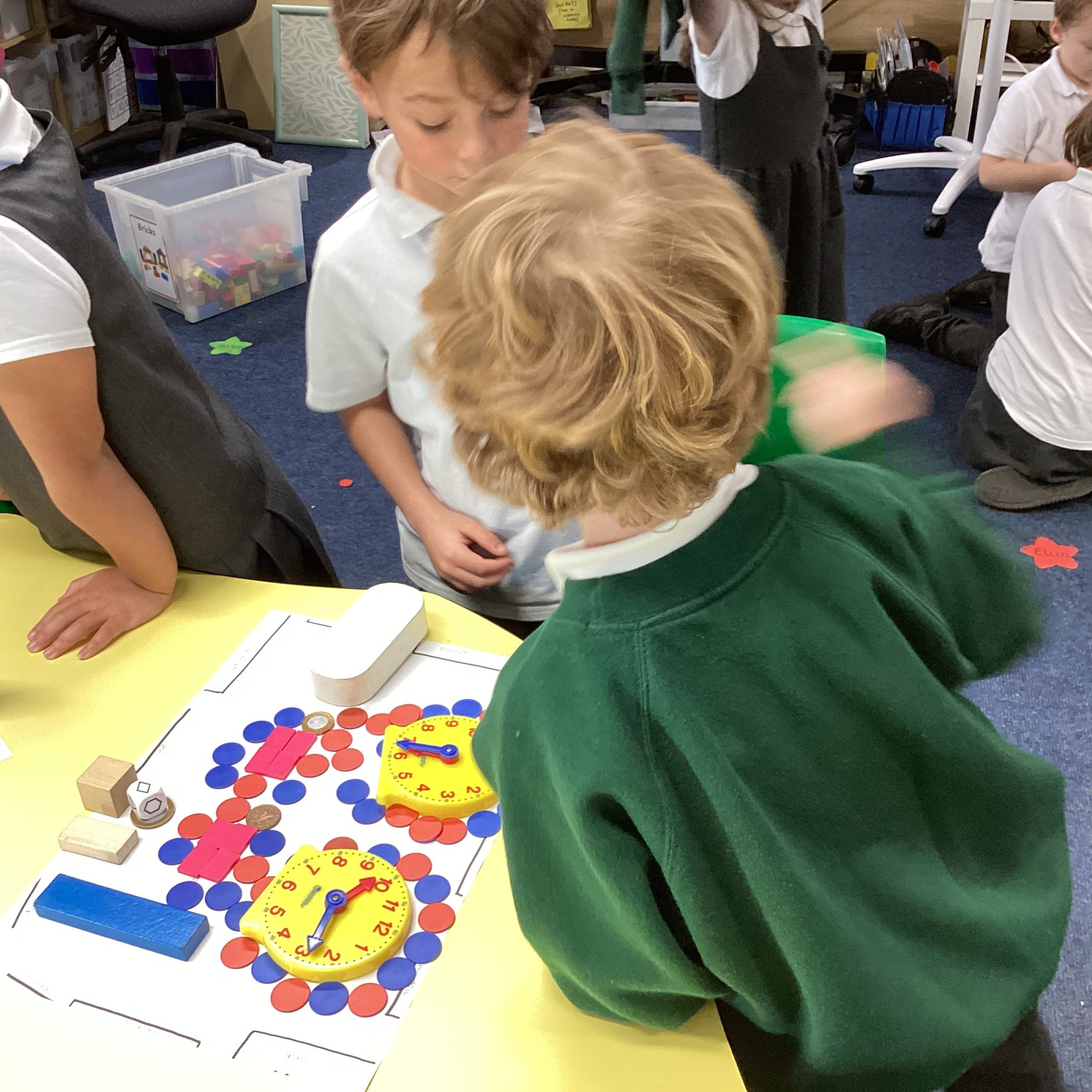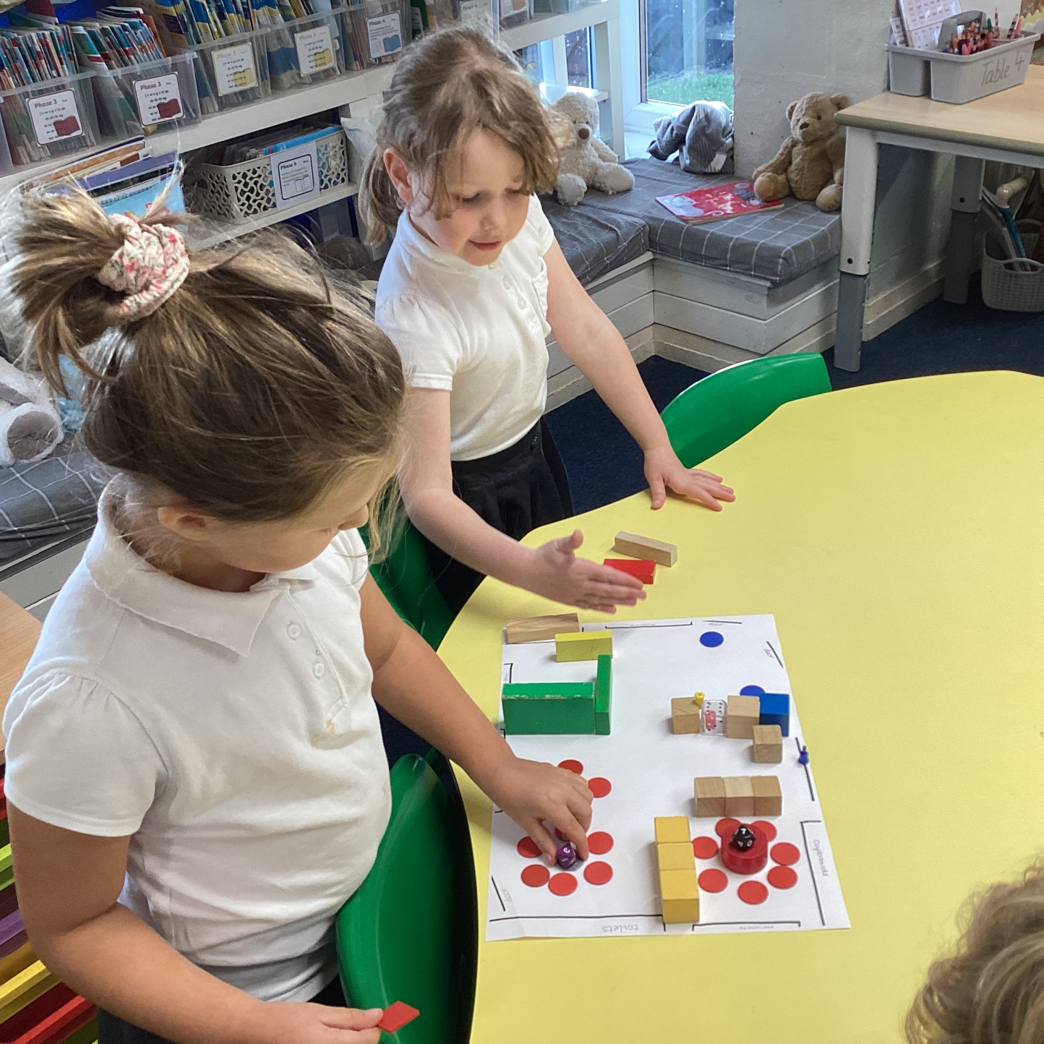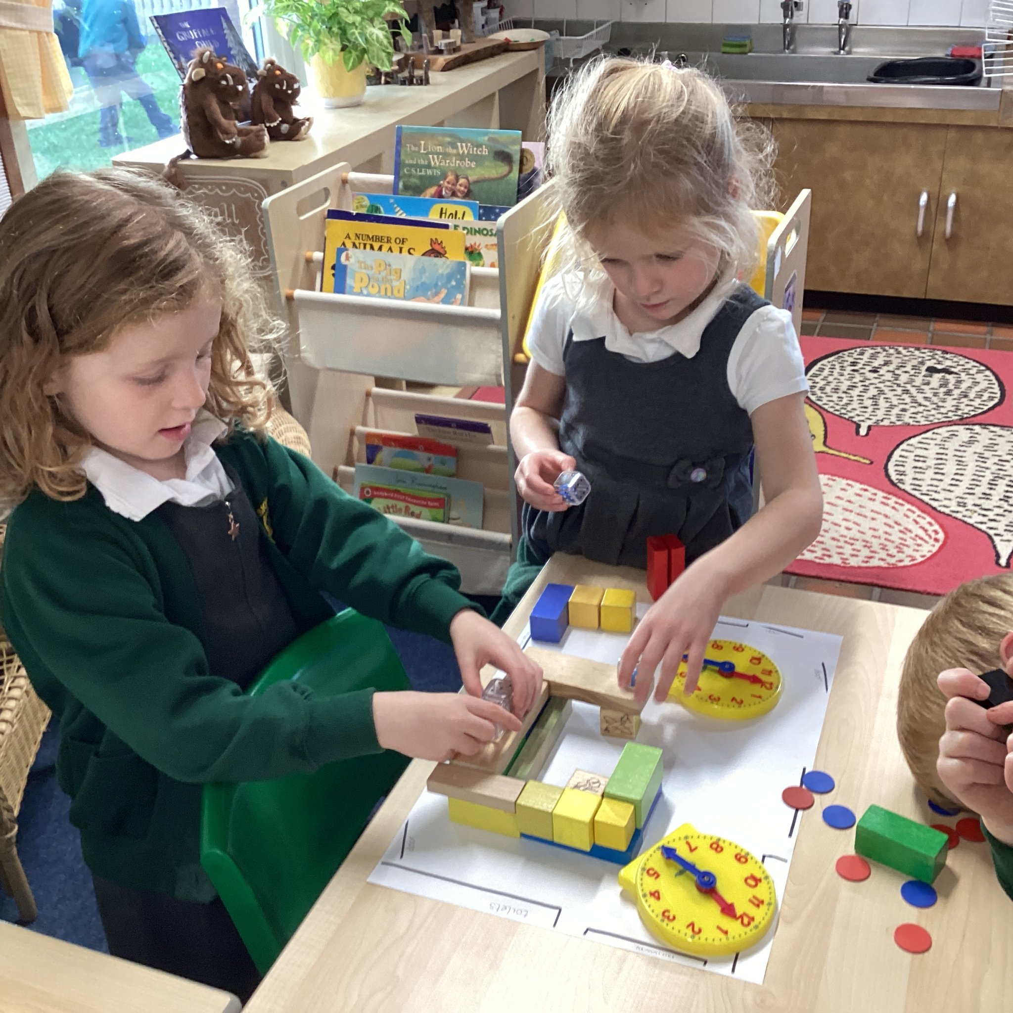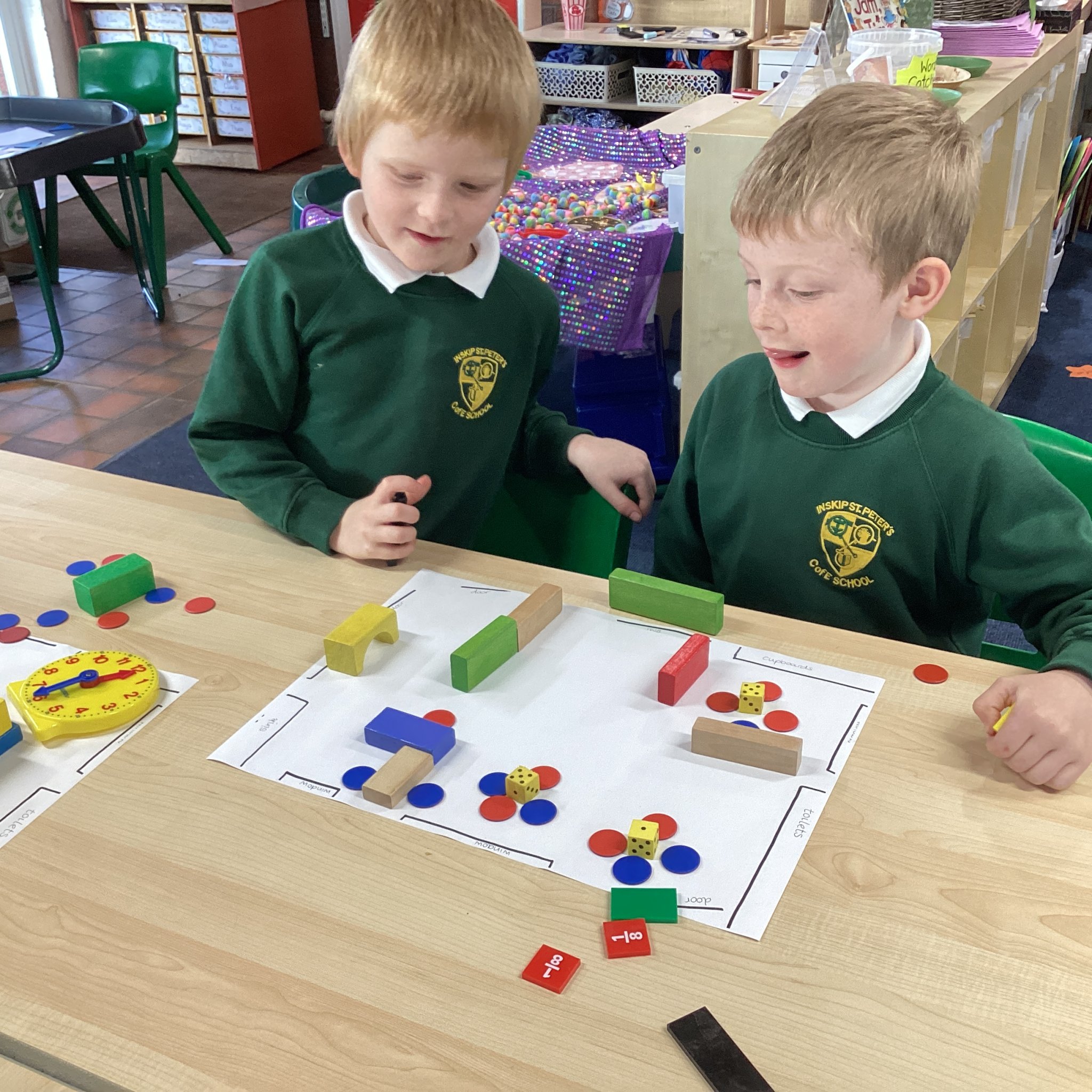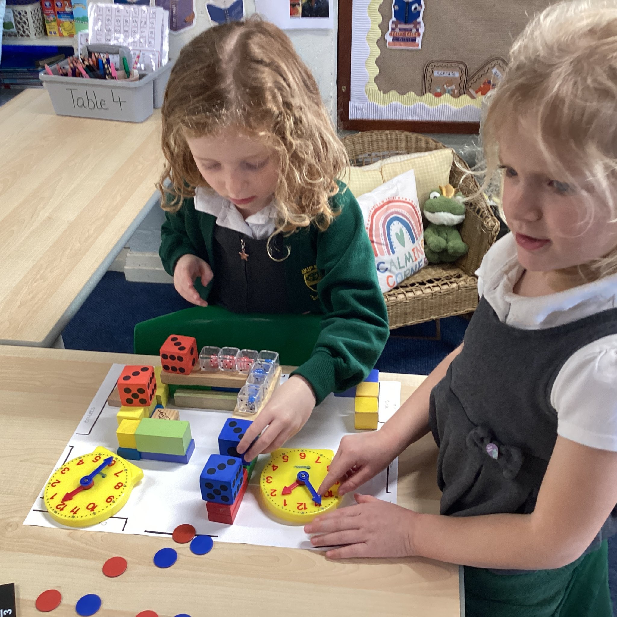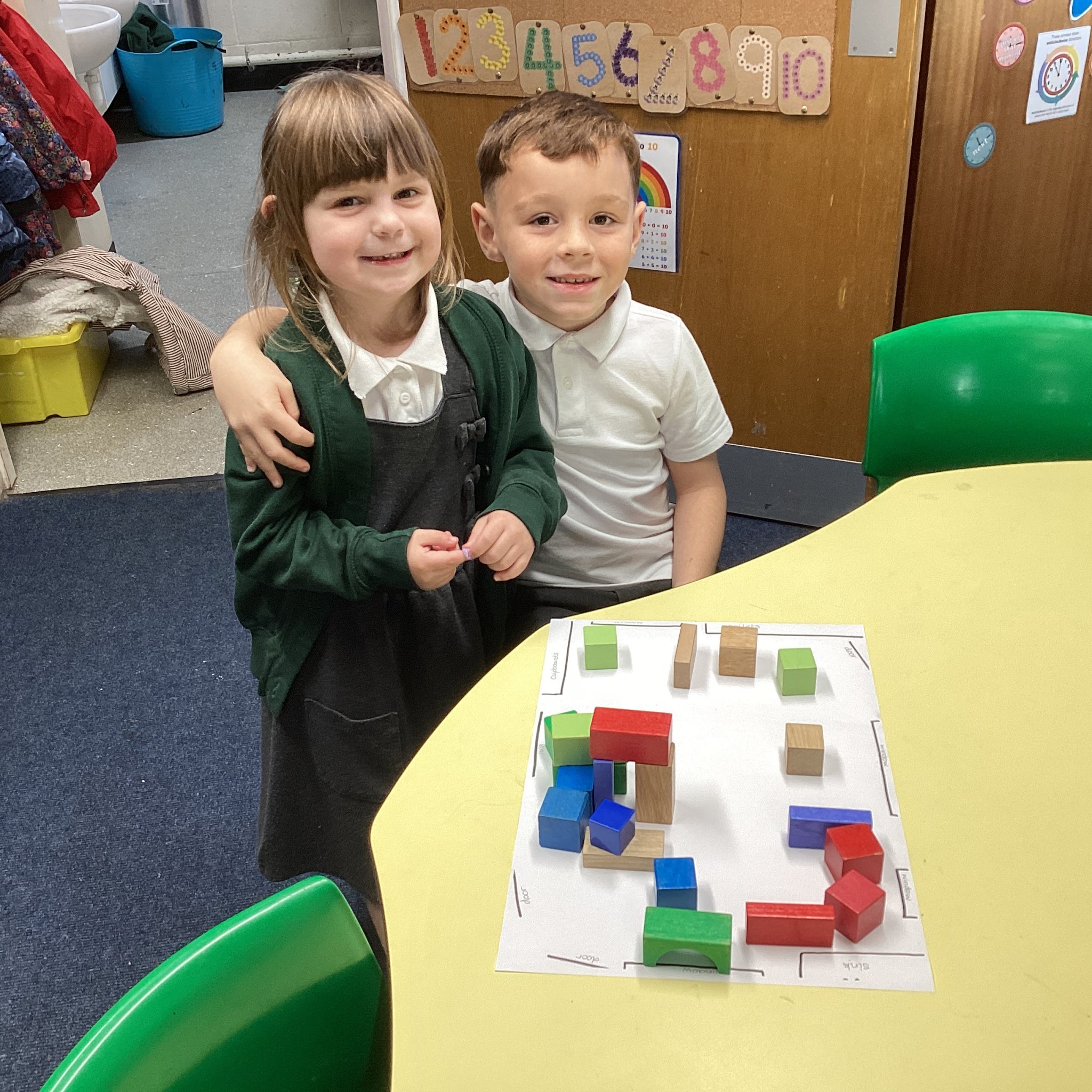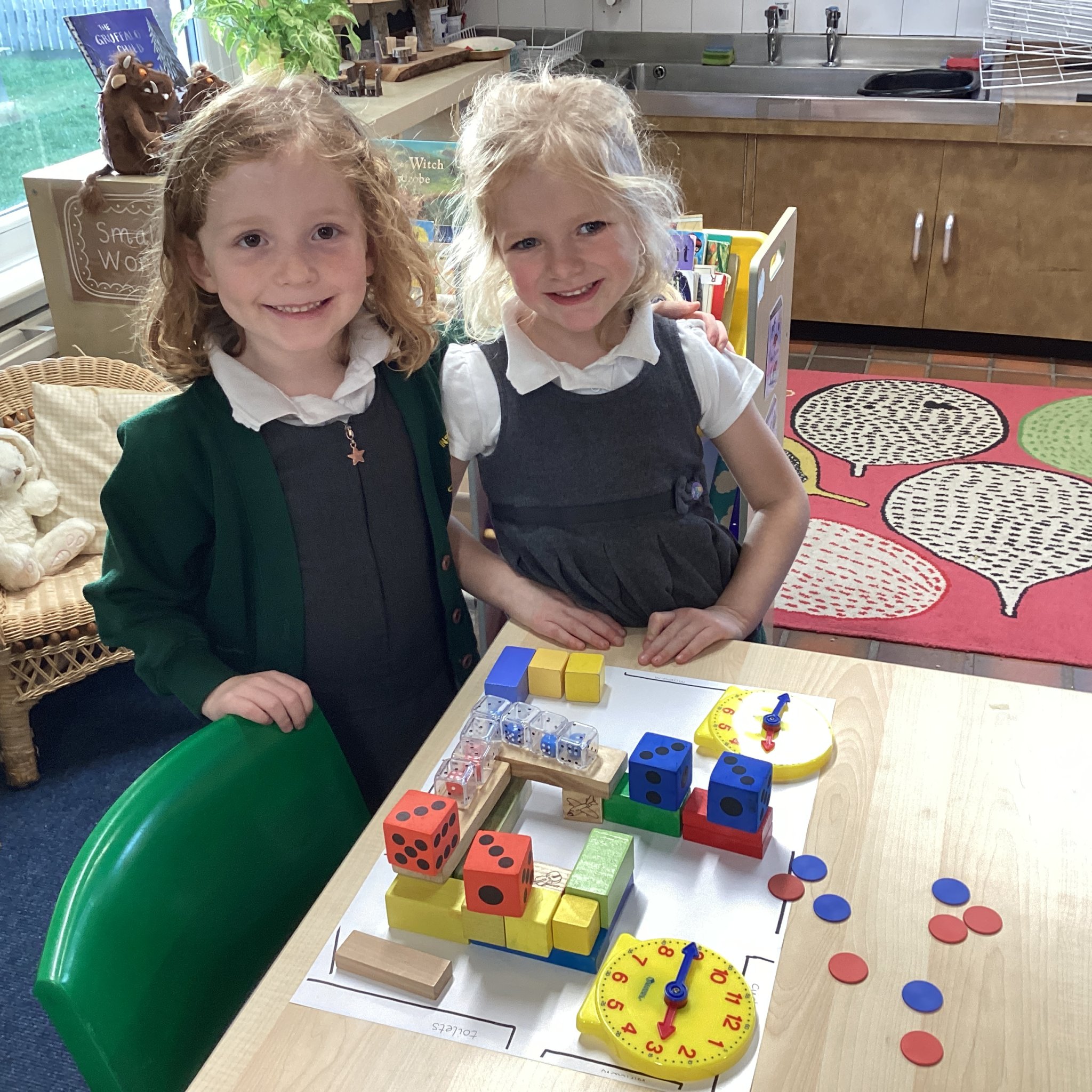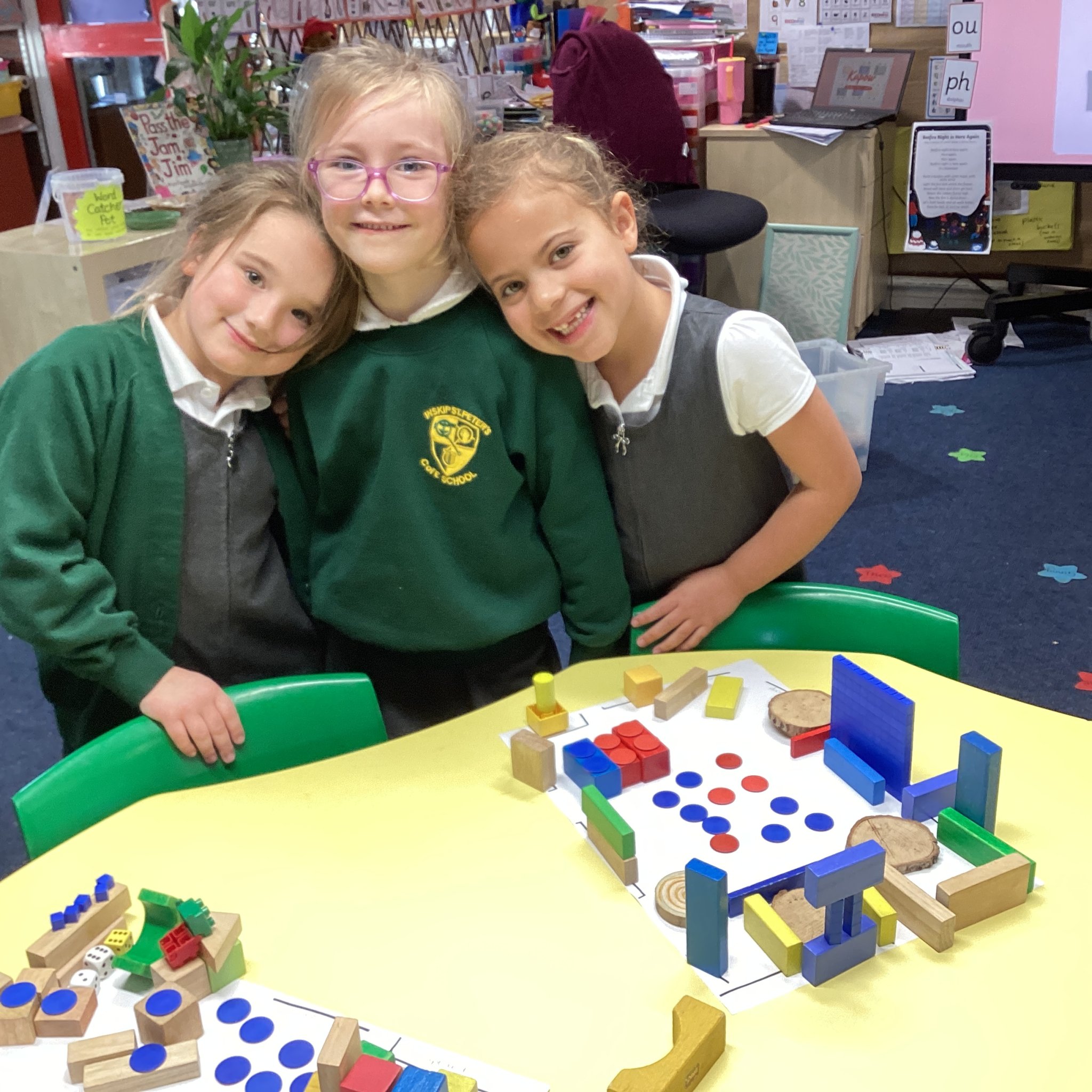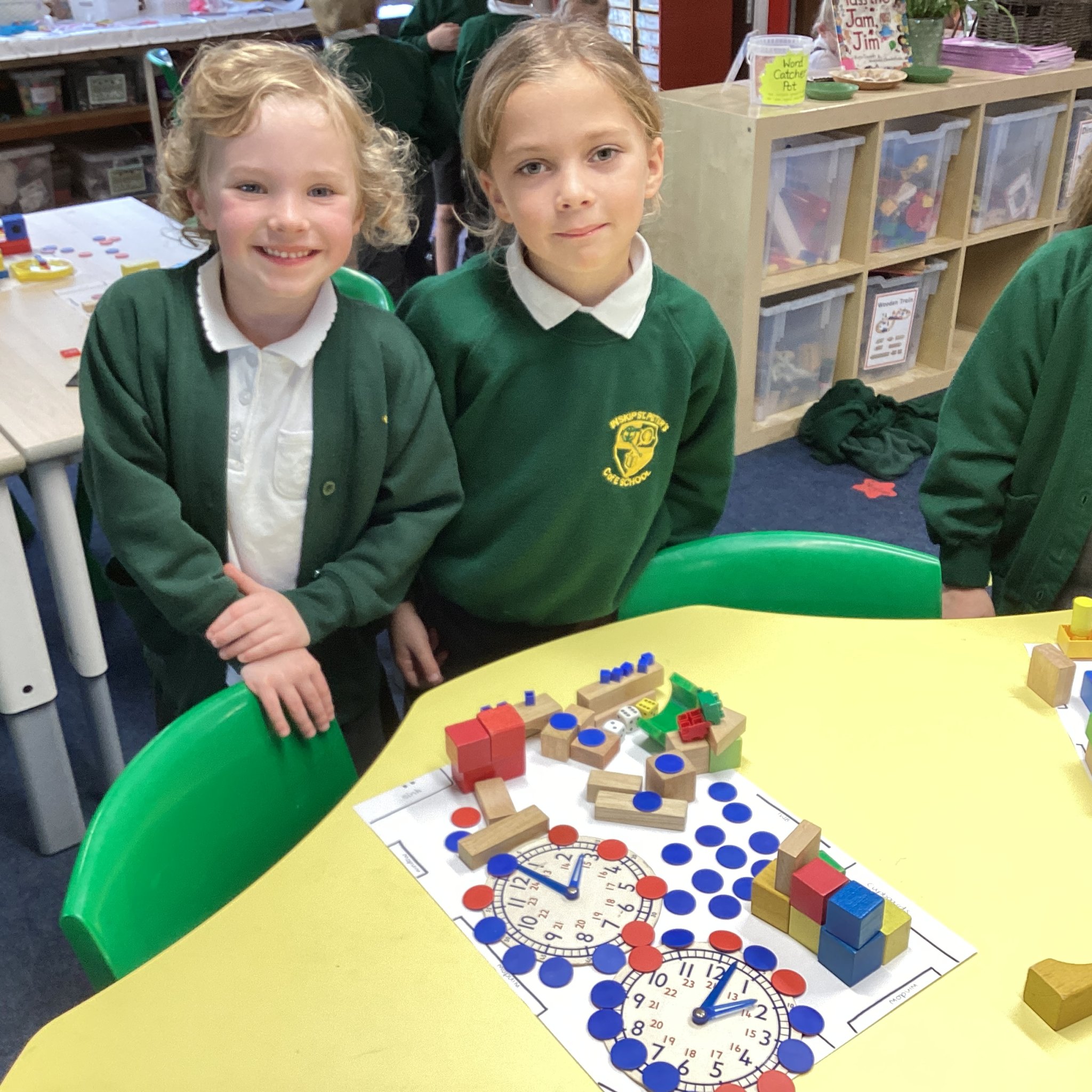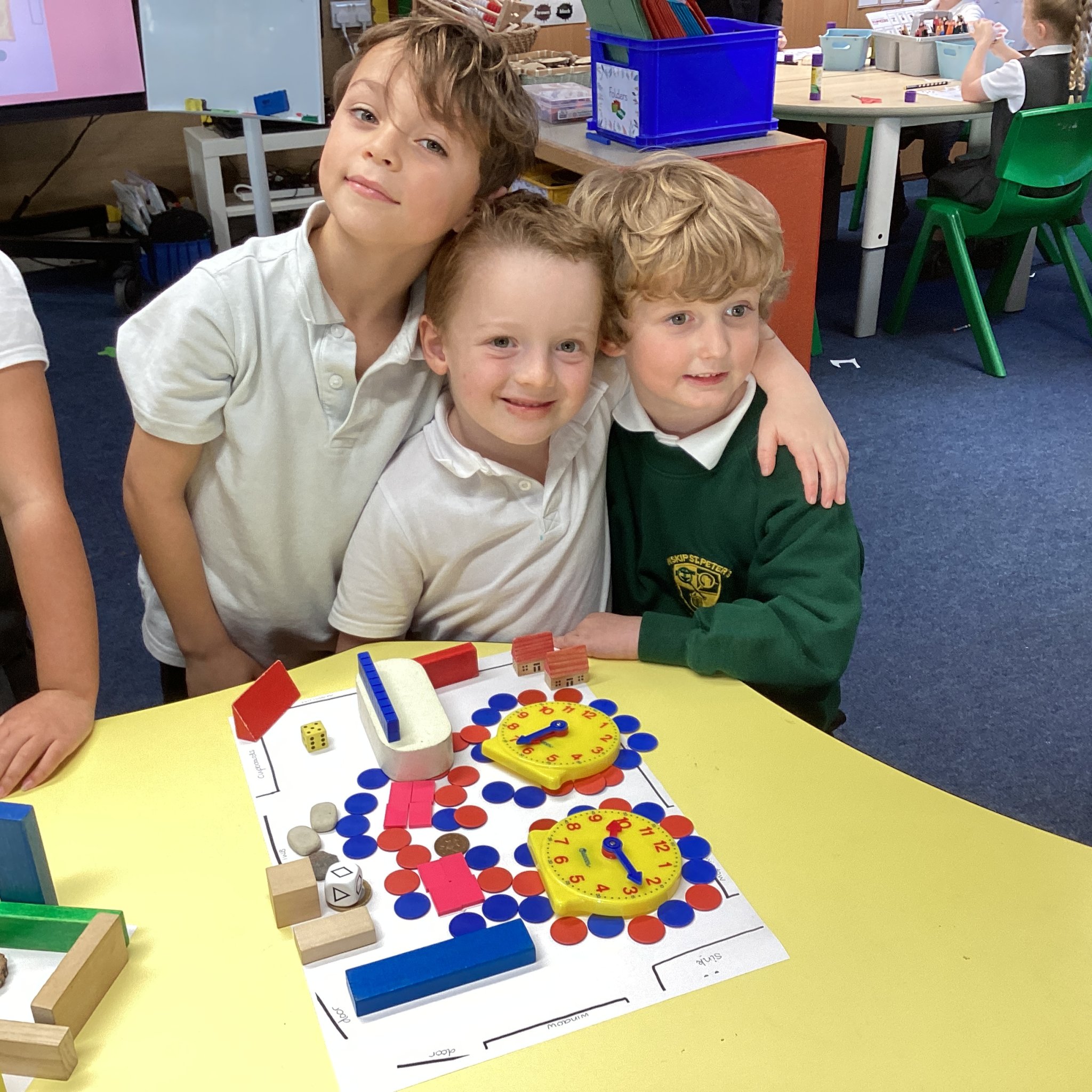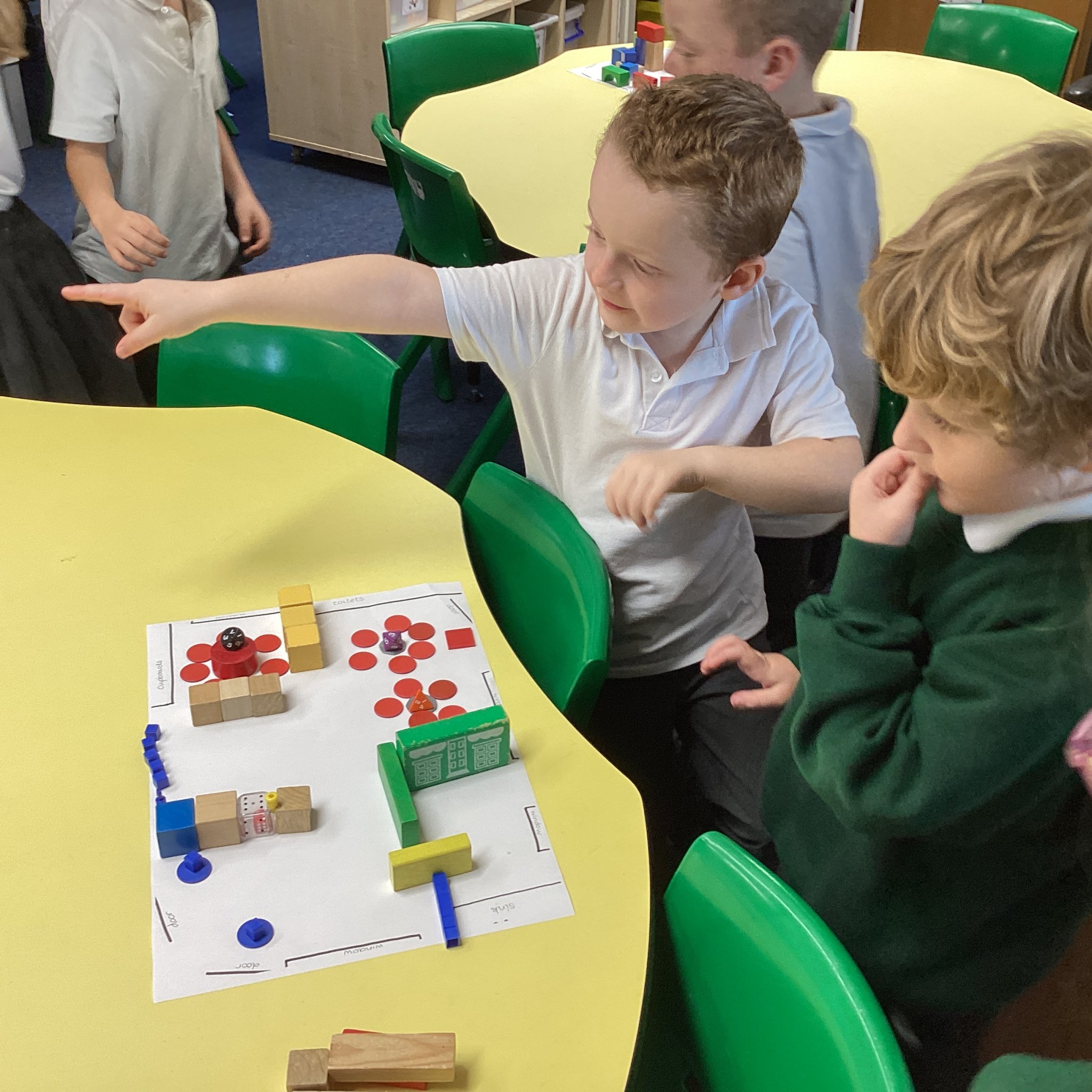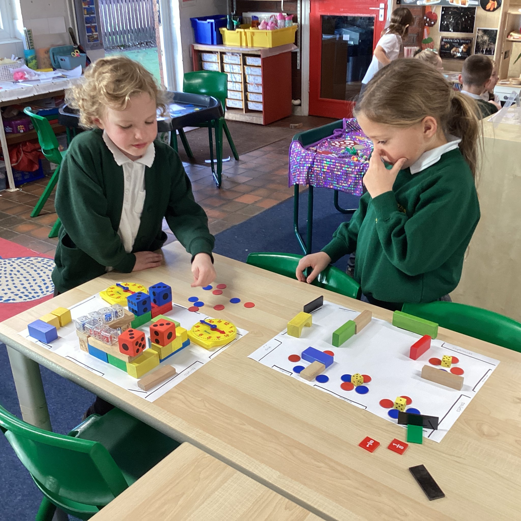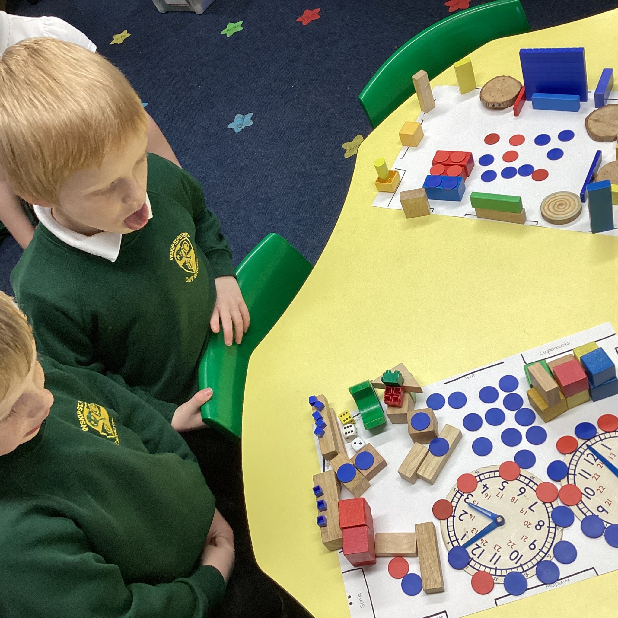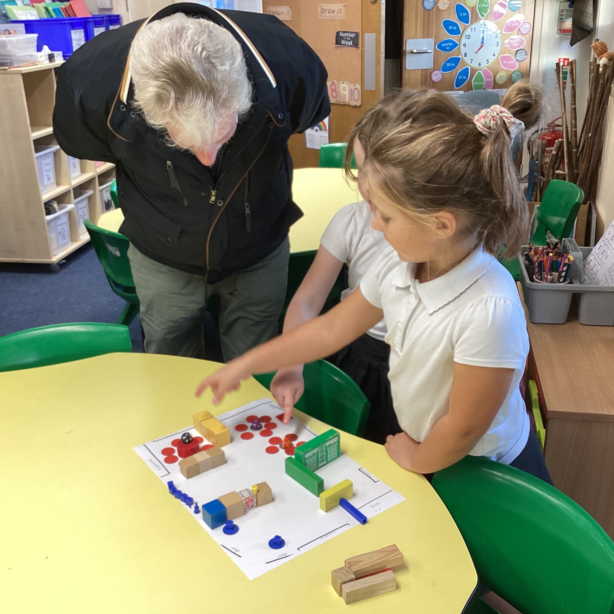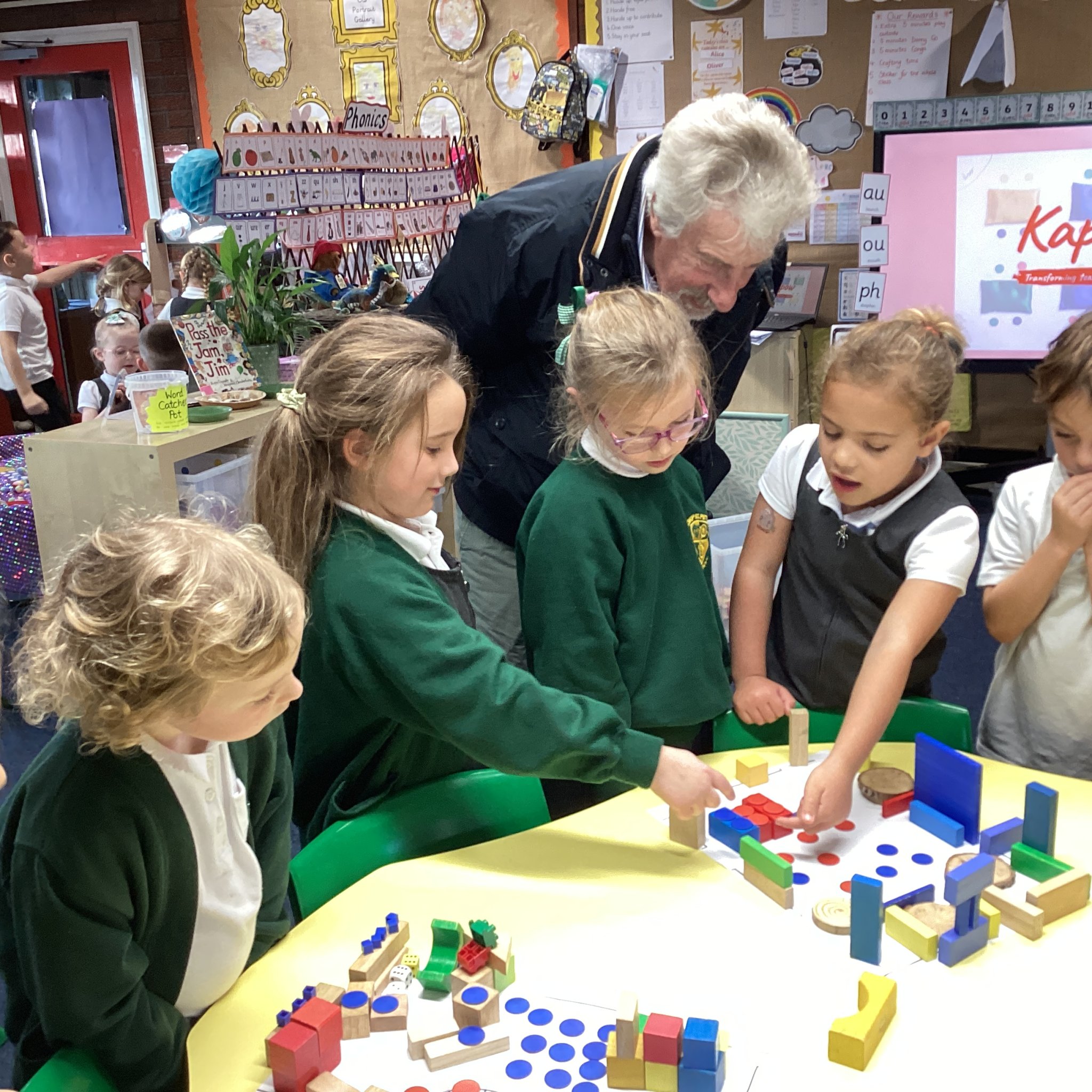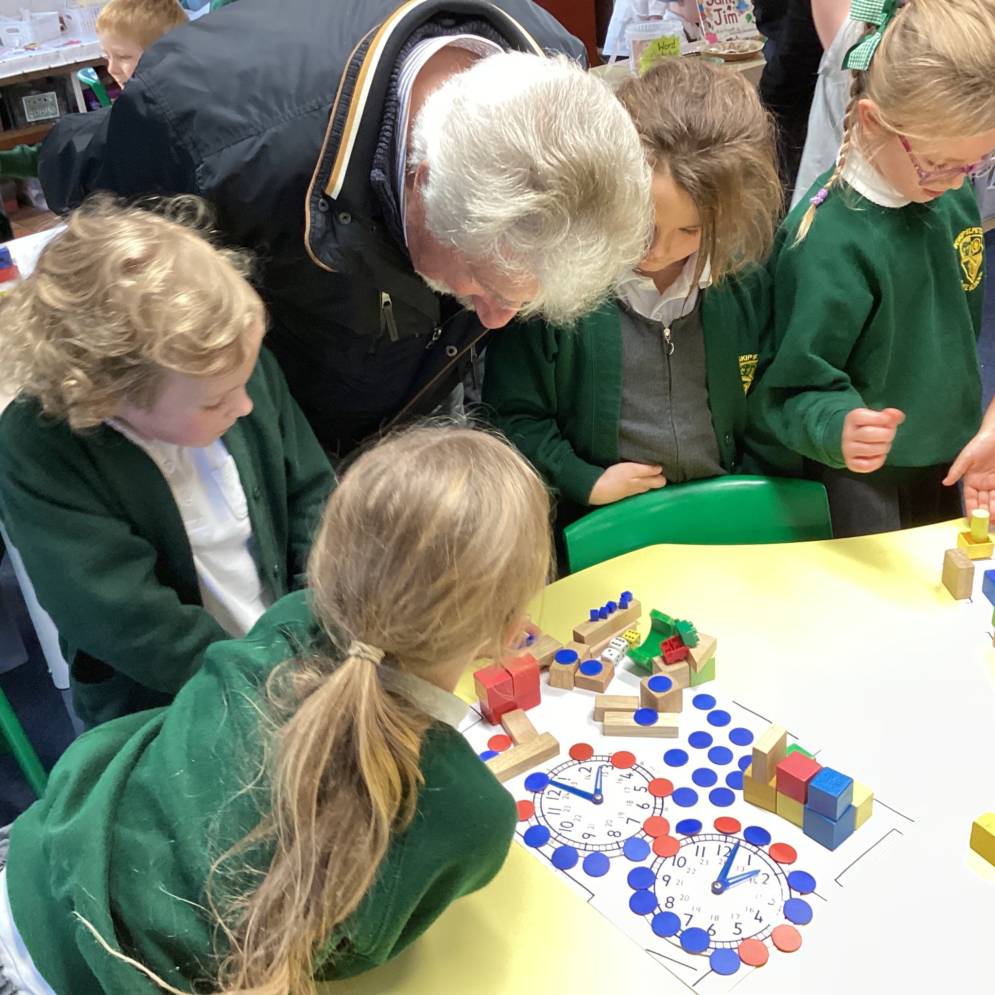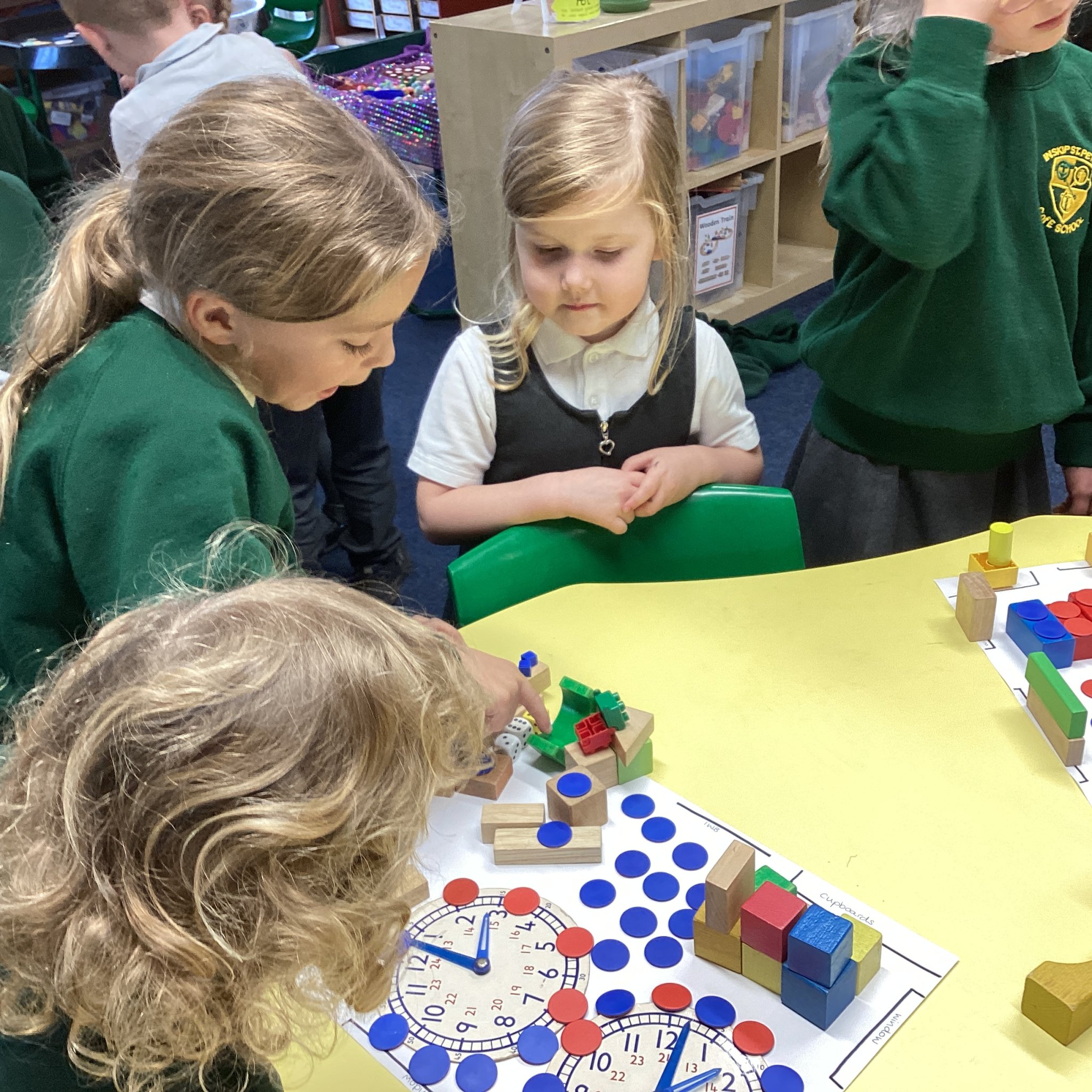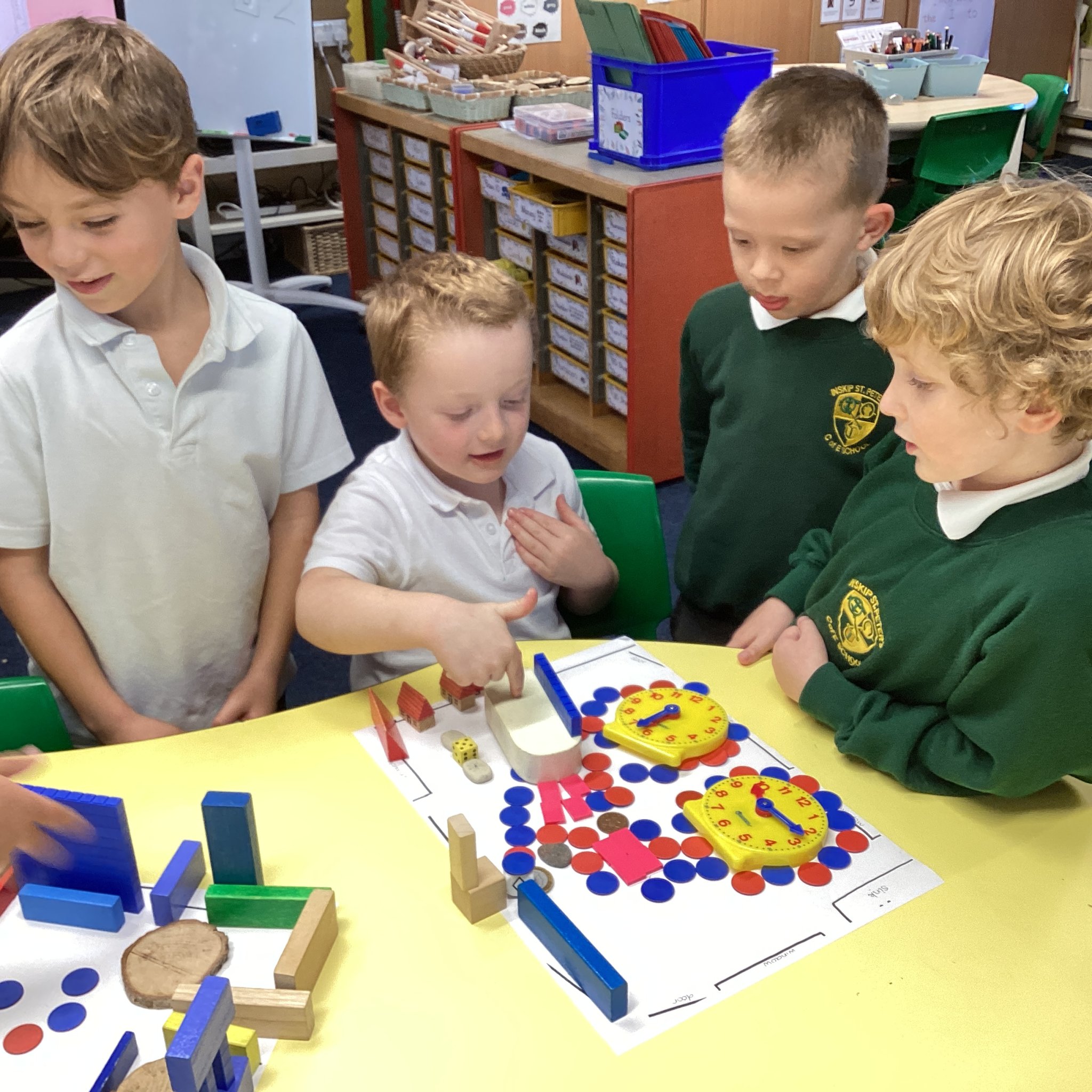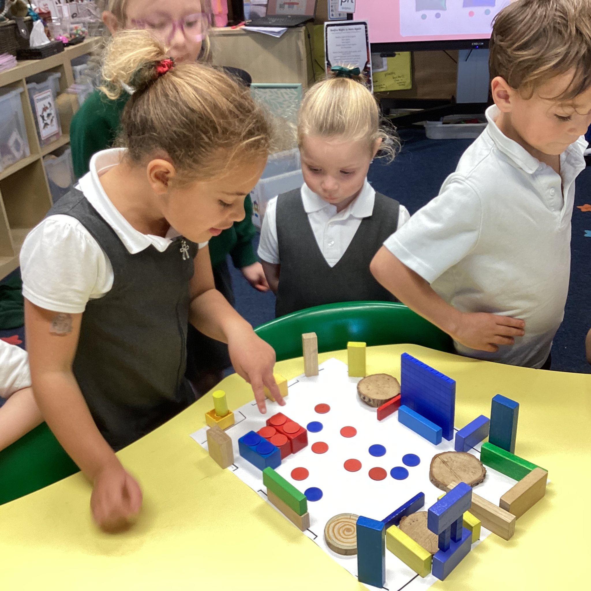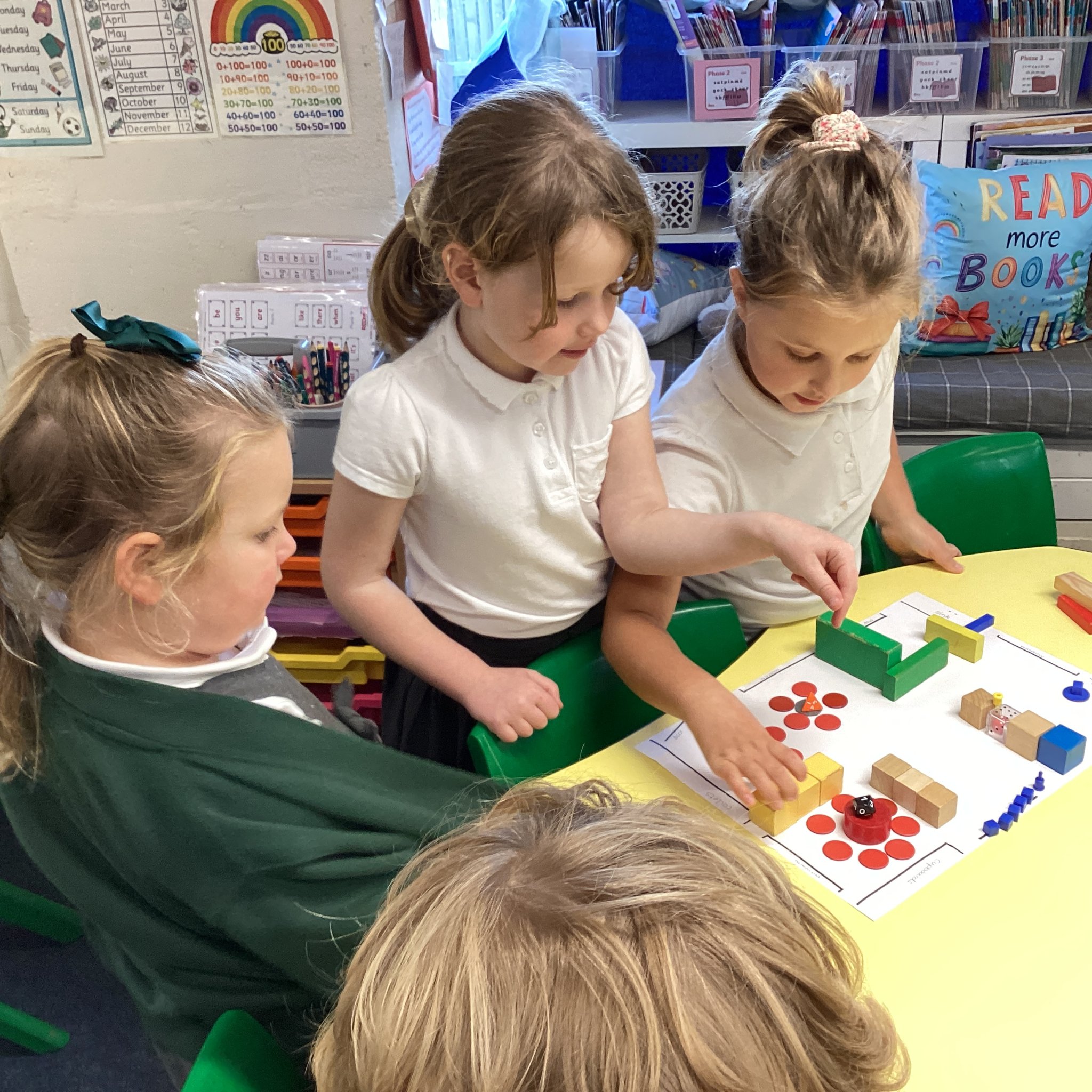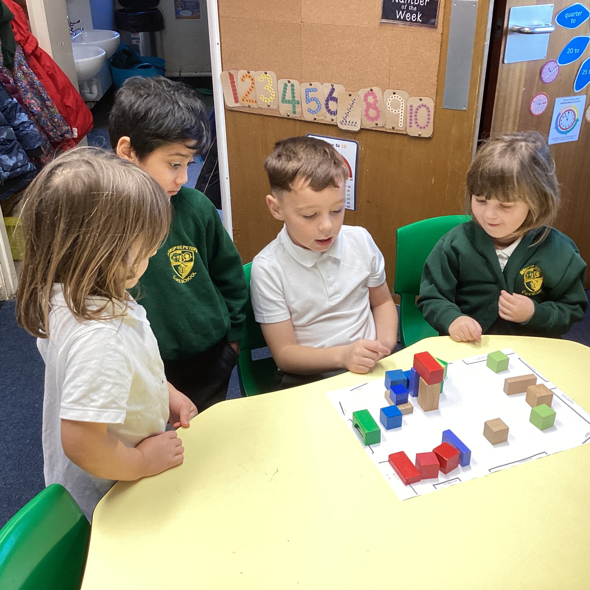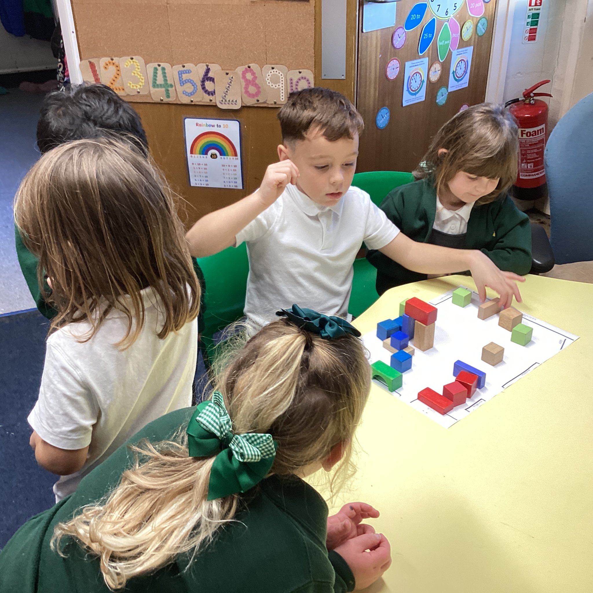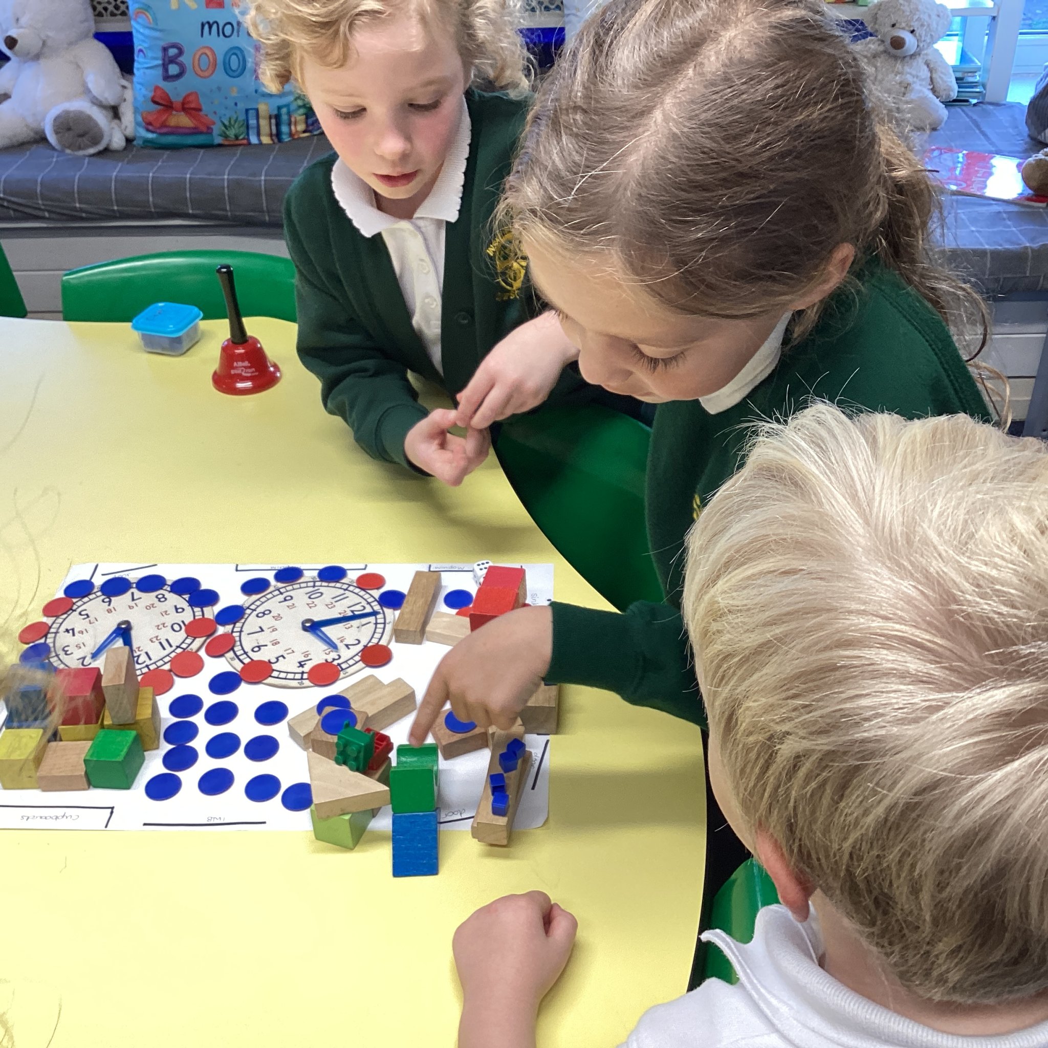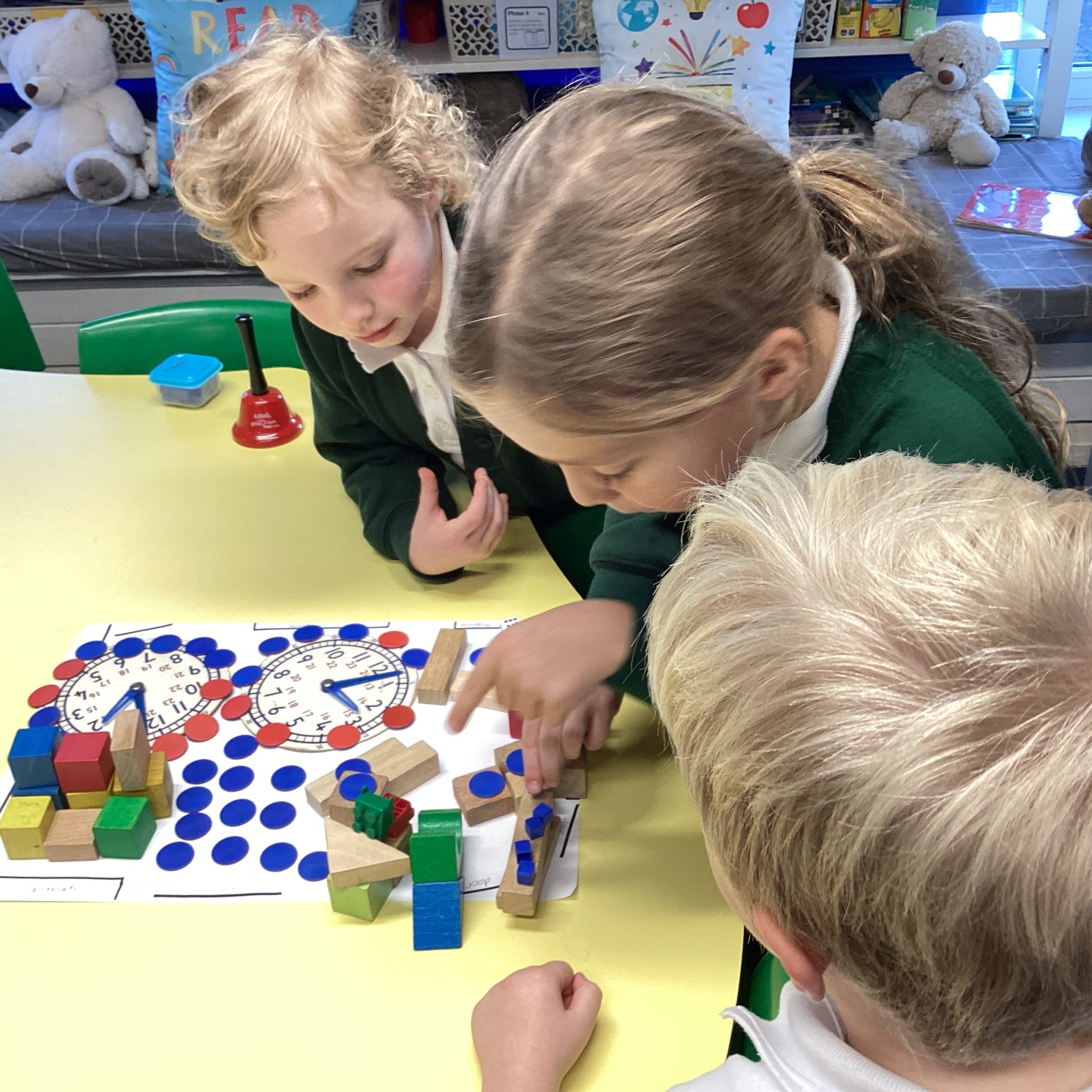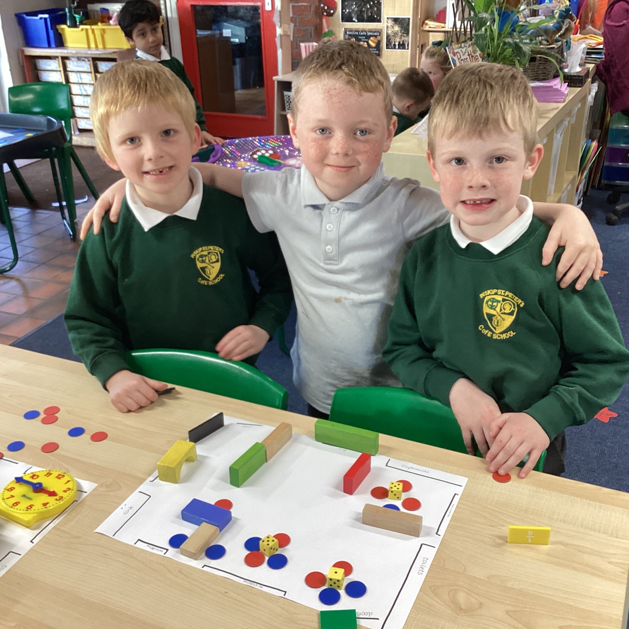
During the second of our geography lessons this week the Year 1 and 2 children created messy maps of our classroom.
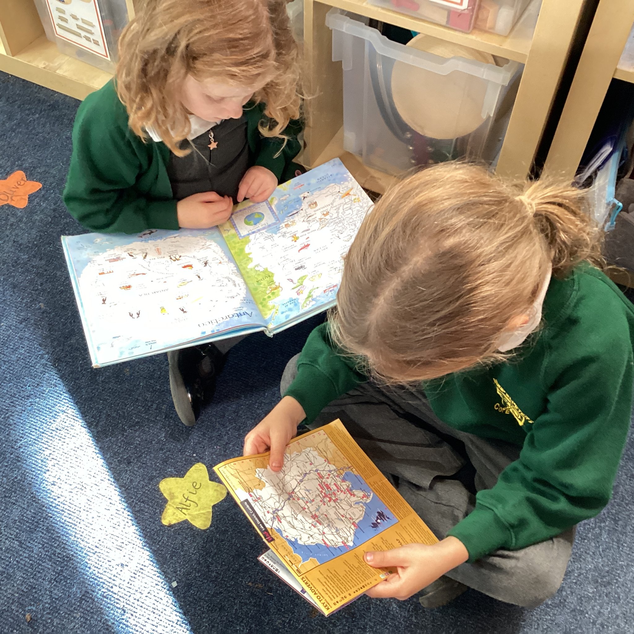
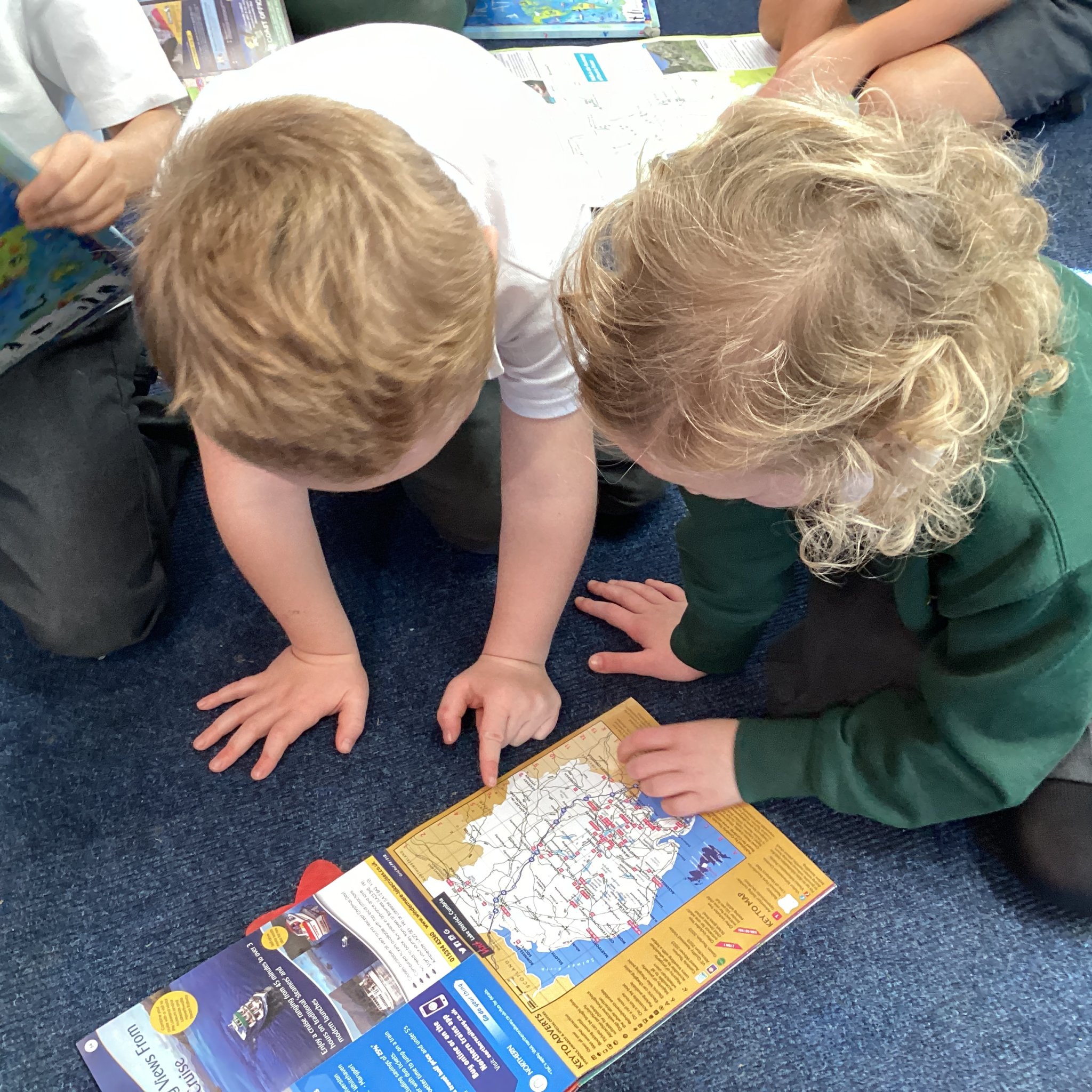
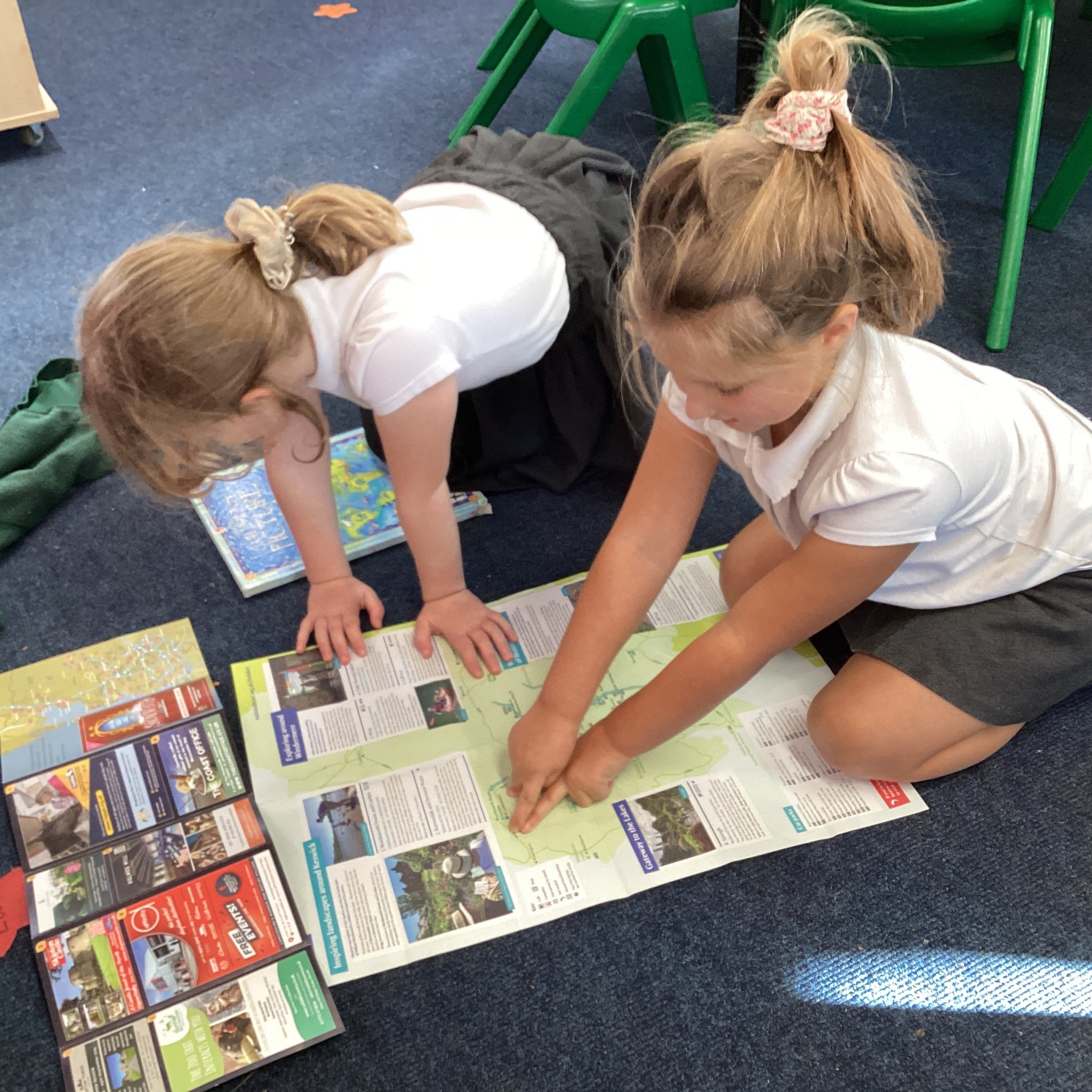
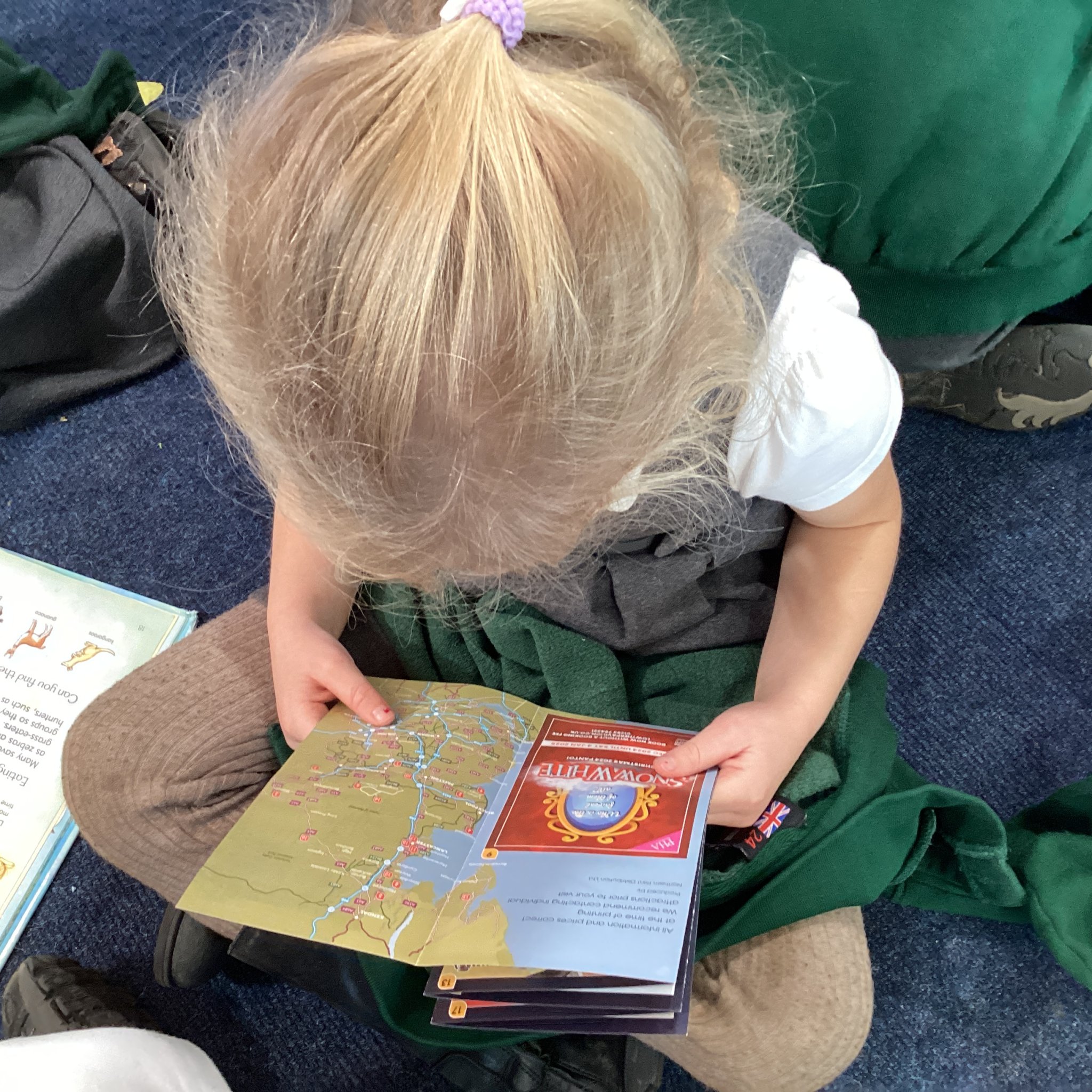
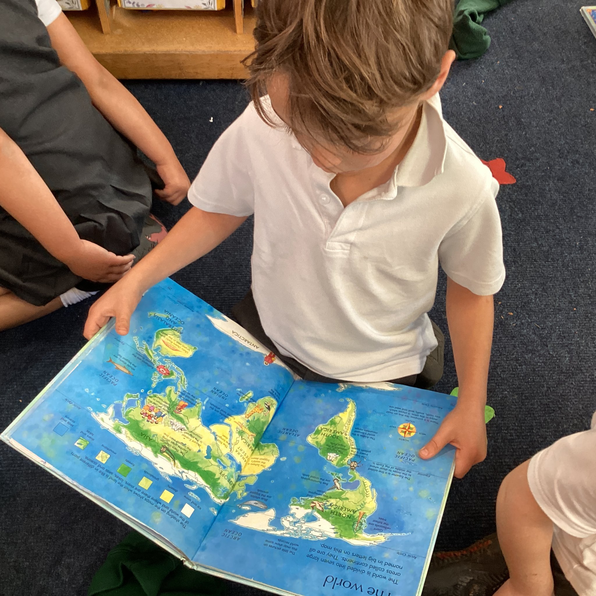
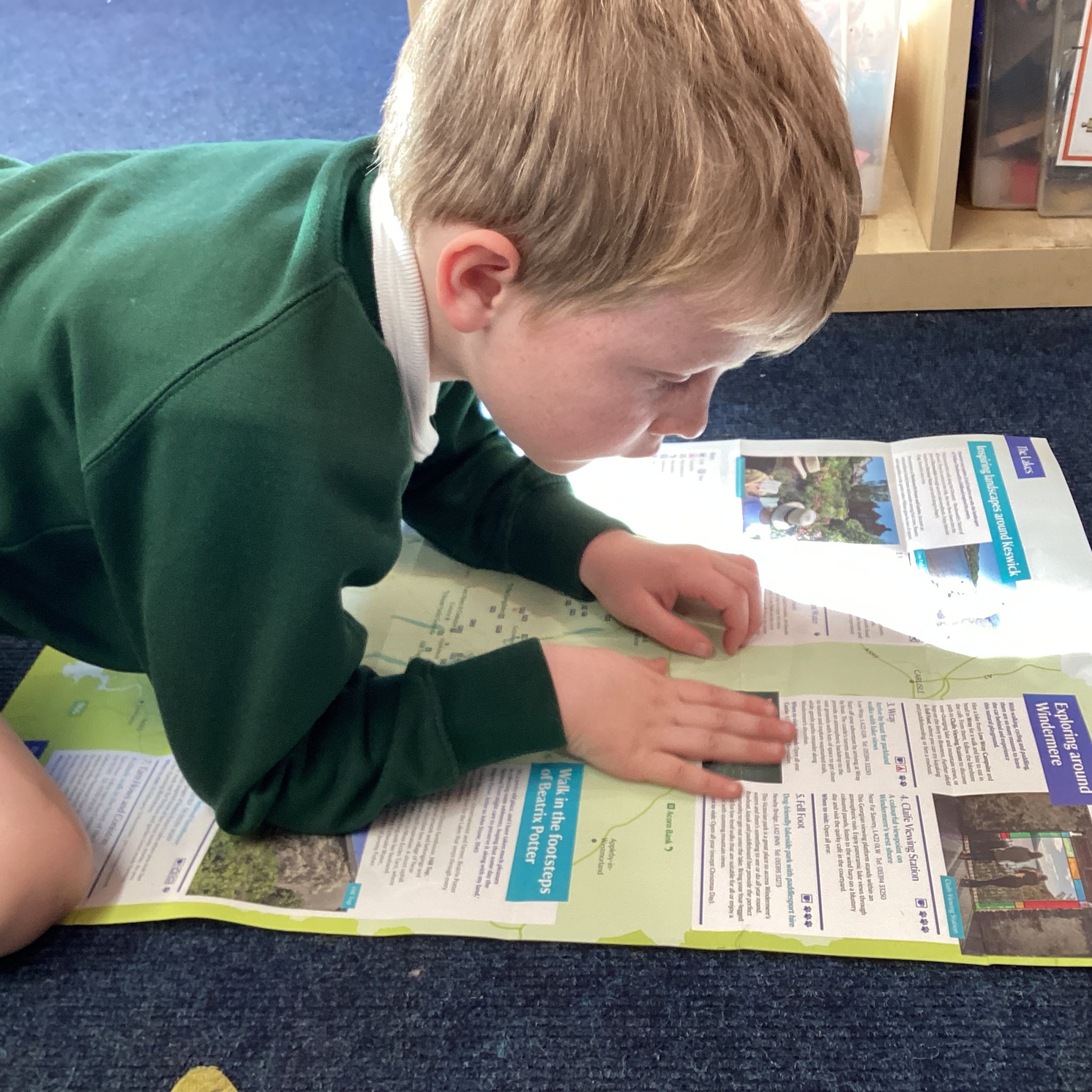
We began by remembering what an aerial photograph is and then compared aerial photographs to maps by looking at a variety of maps and atlases.
They answered these questions ...
- What is a map?
- What can you use these maps and atlases for?
- What is the difference between a globe and a map?
- What can you see on the maps?
- Which maps show different countries?
- Which maps tell us about our local area?
Next I challenged the children to work in pairs and small groups to create a map of our classroom using objects they could find in the room. They worked so well, looking, questioning and thinking about the features of the room as you would see them from above.
Once their maps were complete they moved around looking at each others maps comparing them to their own, noticing the features that had been included. They then really enjoyed sharing and discussing their maps with Mr Proctor and the Reception children using positional language, describing features of the classroom and explaining their choices.